
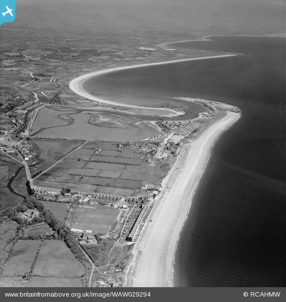
WAW029294 WALES (1950). General view of Pwllheli
© Copyright OpenStreetMap contributors and licensed by the OpenStreetMap Foundation. 2026. Cartography is licensed as CC BY-SA.
Nearby Images (13)
WAW029293

WAW029294

WAW029295

WAW029296

WPW045215

WPW045216

WPW045217

WPW045218

WPW045219

WPW045220
 near Pwllheli, oblique aerial view. 5\"x4\" black and white glass plate negative.")
WPW045221
 near Pwllheli, oblique aerial view. 5\"x4\" black and white glass plate negative.")
WPW045222
 near Pwllheli, oblique aerial view. 5\"x4\" black and white glass plate negative.")
WPW045223
 near Pwllheli, oblique aerial view. 5\"x4\" black and white glass plate negative.")
Details
| Title | [WAW029294] General view of Pwllheli |
| Reference | WAW029294 |
| Date | 1950 |
| Link | Coflein Archive Item 6414198 |
| Place name | |
| Parish | |
| District | |
| Country | WALES |
| Easting / Northing | 237425, 335193 |
| Longitude / Latitude | -4.416750686082, 52.889254290467 |
| National Grid Reference | SH374352 |
Pins

Mike Floate |
Wednesday 6th of August 2014 07:49:36 PM |