
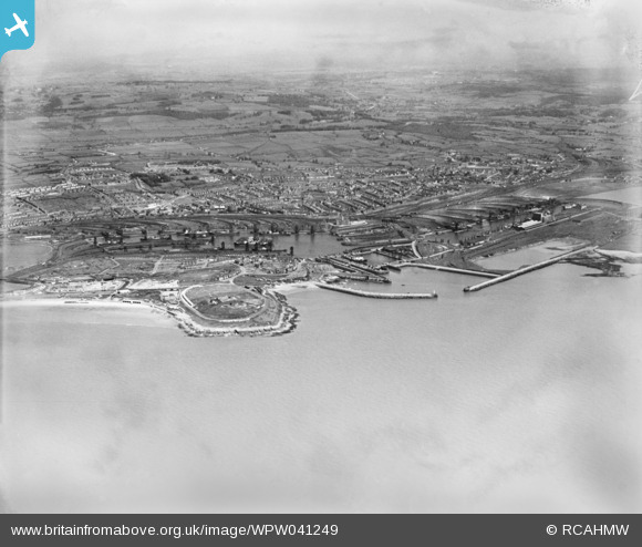
WPW041249 WALES (1933). General view of Barry Docks, oblique aerial view. 5"x4" black and white glass plate negative.
© Copyright OpenStreetMap contributors and licensed by the OpenStreetMap Foundation. 2026. Cartography is licensed as CC BY-SA.
Nearby Images (40)
WAW005933

WAW005934

WAW005935

WAW005936

WAW005937

WAW005938

WAW007742

WAW007743

WAW007745

WAW007746

WAW007747

WAW007748

WAW007749

WAW007750

WAW007814

WAW007814A

WAW007814B

WAW007819

WPW006092

WPW006097

WPW016921

WPW016922

WPW016923

WPW016924

WPW016925

WPW016926

WPW016927

WPW016928

WPW029395

WPW029396

WPW029457

WPW029463

WPW029464

WPW038291

WPW041249

WPW041250

WPW041251

WPW041253

WPW041254

WPW041255

Details
| Title | [WPW041249] General view of Barry Docks, oblique aerial view. 5"x4" black and white glass plate negative. |
| Reference | WPW041249 |
| Date | May-1933 |
| Link | Coflein Archive Item 6369740 |
| Place name | |
| Parish | |
| District | |
| Country | WALES |
| Easting / Northing | 312260, 167140 |
| Longitude / Latitude | -3.2613084674002, 51.396007194558 |
| National Grid Reference | ST123671 |
Pins

gerry-r |
Thursday 13th of November 2014 05:22:50 PM | |
|
gerry-r |
Thursday 13th of November 2014 05:20:13 PM | |

Class31 |
Monday 2nd of July 2012 04:45:55 PM | |
|
Class31 |
Monday 2nd of July 2012 04:44:26 PM | |
|
Class31 |
Monday 2nd of July 2012 04:42:51 PM | |
|
Class31 |
Monday 2nd of July 2012 04:42:17 PM | |
|
Class31 |
Monday 2nd of July 2012 04:40:19 PM | |
|
Chelsea61 |
Saturday 30th of June 2012 12:23:51 PM | |
|
Chelsea61 |
Saturday 30th of June 2012 12:22:50 PM |