
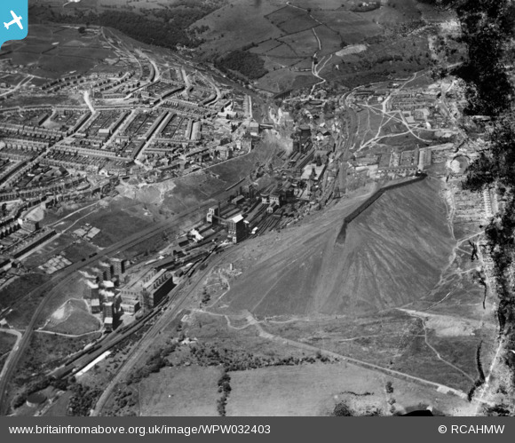
WPW032403 WALES (1930). View of Bargoed colliery looking from SE, oblique aerial view. 5"x4" black and white glass plate negative.
© Copyright OpenStreetMap contributors and licensed by the OpenStreetMap Foundation. 2026. Cartography is licensed as CC BY-SA.
Nearby Images (3)
WPW032400

WPW032402

WPW032403

Details
| Title | [WPW032403] View of Bargoed colliery looking from SE, oblique aerial view. 5"x4" black and white glass plate negative. |
| Reference | WPW032403 |
| Date | 7-June-1930 |
| Link | Coflein Archive Item 6370724 |
| Place name | |
| Parish | |
| District | |
| Country | WALES |
| Easting / Northing | 314000, 199000 |
| Longitude / Latitude | -3.2440878432945, 51.682705855069 |
| National Grid Reference | ST140990 |
Pins

Dave Lewis |
Friday 7th of March 2014 08:09:57 PM | |
|
Dave Lewis |
Friday 7th of March 2014 08:08:58 PM | |
|
Dave Lewis |
Friday 7th of March 2014 08:07:54 PM | |
My mother Caroline (Higgs) was born at number 3 Frances street on the 24th of May 1950. |
Andrew Dexter |
Sunday 30th of April 2017 12:04:22 PM |
|
Bill Smith |
Monday 23rd of July 2012 10:19:36 PM | |
|
Reg Malpass |
Thursday 28th of June 2012 10:42:01 AM | |
|
johnabutt |
Wednesday 27th of June 2012 10:51:31 PM | |
|
johnabutt |
Wednesday 27th of June 2012 10:49:52 PM | |
|
johnabutt |
Wednesday 27th of June 2012 10:48:28 PM |