
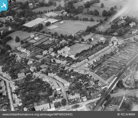
WPW029901 WALES (1929). General view of Abergavenny, oblique aerial view. 5"x4" black and white glass plate negative.
© Copyright OpenStreetMap contributors and licensed by the OpenStreetMap Foundation. 2026. Cartography is licensed as CC BY-SA.
Nearby Images (30)
WAW000674

WAW000675

WAW000676

WAW000677

WAW000678

WAW000679

WAW000680

WAW000681

WAW026200

WAW026201

WAW026202

WAW026203

WAW026204

WAW026205

WPW029891

WPW029892

WPW029893

WPW029897

WPW029898

WPW029899

WPW029900

WPW029901

WPW029909

WPW029950

WPW029976

WPW039965

WPW039966

WPW039967

WPW039968

WPW039969

Details
| Title | [WPW029901] General view of Abergavenny, oblique aerial view. 5"x4" black and white glass plate negative. |
| Reference | WPW029901 |
| Date | 1929 |
| Link | Coflein Archive Item 6370701 |
| Place name | |
| Parish | |
| District | |
| Country | WALES |
| Easting / Northing | 329833, 214333 |
| Longitude / Latitude | -3.0181841706239, 51.822762430277 |
| National Grid Reference | SO298143 |
Pins

Beccy |
Friday 23rd of September 2016 04:24:23 PM | |
|
Beccy |
Wednesday 21st of September 2016 02:23:52 PM | |
|
Western Road |
Friday 16th of November 2012 11:04:12 PM | |
|
Stewart Lawrie |
Monday 24th of September 2012 02:19:52 PM | |
|
Stewart Lawrie |
Monday 24th of September 2012 02:18:51 PM | |
|
Stewart Lawrie |
Monday 24th of September 2012 02:17:17 PM | |
I seem to remember that the original station buildings were used as a Social Club associated with an adjacent hospital at about 1970. I remember dropping the jackpot on a fruit machine here! |

Class31 |
Monday 6th of April 2015 08:13:07 AM |