
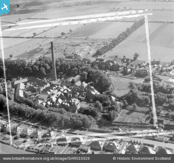
SAR010319 SCOTLAND (1948). General View Currie, Midlothian, Scotland. An oblique aerial photograph taken facing South/East. This image was marked by AeroPictorial Ltd for photo editing.
© Copyright OpenStreetMap contributors and licensed by the OpenStreetMap Foundation. 2026. Cartography is licensed as CC BY-SA.
Nearby Images (6)
SAR010319

SAR029093

SPW040175

SPW040177

SPW040178

SPW040180

Details
| Title | [SAR010319] General View Currie, Midlothian, Scotland. An oblique aerial photograph taken facing South/East. This image was marked by AeroPictorial Ltd for photo editing. |
| Reference | SAR010319 |
| Date | 1948 |
| Link | NRHE Collection item 1437800 |
| Place name | |
| Parish | CURRIE |
| District | CITY OF EDINBURGH |
| Country | SCOTLAND |
| Easting / Northing | 318970, 667950 |
| Longitude / Latitude | -3.2959794905617, 55.897878390543 |
| National Grid Reference | NT190680 |
Pins

macvidi |
Sunday 28th of December 2025 07:33:37 PM |