
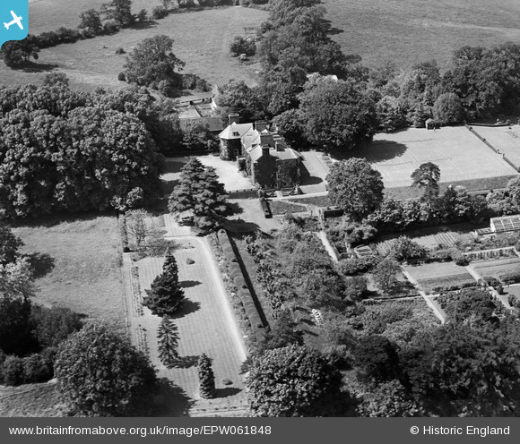
EPW061848 ENGLAND (1939). Benington Park, Benington, 1939
© Copyright OpenStreetMap contributors and licensed by the OpenStreetMap Foundation. 2026. Cartography is licensed as CC BY-SA.
Nearby Images (8)
EPW061848

EPW061846

EPW061849

EPW061850

EPW061845

EPW061844

EPW061847

EPW061851

Details
| Title | [EPW061848] Benington Park, Benington, 1939 |
| Reference | EPW061848 |
| Date | June-1939 |
| Link | |
| Place name | BENINGTON |
| Parish | BENINGTON |
| District | |
| Country | ENGLAND |
| Easting / Northing | 530975, 223471 |
| Longitude / Latitude | -0.096377883217732, 51.893940821593 |
| National Grid Reference | TL310235 |
Pins
Be the first to add a comment to this image!