
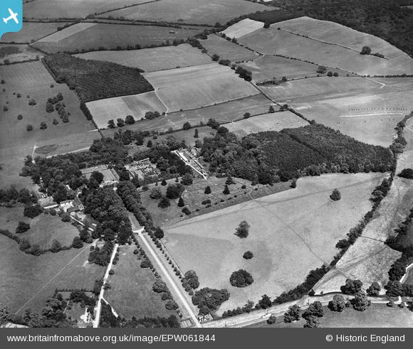
EPW061844 ENGLAND (1939). Benington Park, Home Covert and the surrounding countryside, Benington, 1939
© Copyright OpenStreetMap contributors and licensed by the OpenStreetMap Foundation. 2026. Cartography is licensed as CC BY-SA.
Nearby Images (8)
EPW061844

EPW061847

EPW061851

EPW061845

EPW061850

EPW061848

EPW061849

EPW061846

Details
| Title | [EPW061844] Benington Park, Home Covert and the surrounding countryside, Benington, 1939 |
| Reference | EPW061844 |
| Date | June-1939 |
| Link | |
| Place name | BENINGTON |
| Parish | BENINGTON |
| District | |
| Country | ENGLAND |
| Easting / Northing | 531116, 223370 |
| Longitude / Latitude | -0.094368187723388, 51.892999984327 |
| National Grid Reference | TL311234 |
Pins
Be the first to add a comment to this image!