
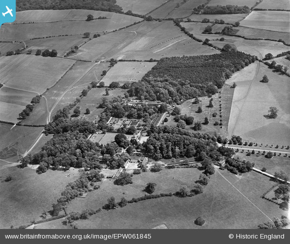
EPW061845 ENGLAND (1939). Benington Park and Home Covert, Benington, 1939
© Copyright OpenStreetMap contributors and licensed by the OpenStreetMap Foundation. 2026. Cartography is licensed as CC BY-SA.
Nearby Images (8)
EPW061845

EPW061850

EPW061844

EPW061848

EPW061847

EPW061851

EPW061849

EPW061846

Details
| Title | [EPW061845] Benington Park and Home Covert, Benington, 1939 |
| Reference | EPW061845 |
| Date | June-1939 |
| Link | |
| Place name | BENINGTON |
| Parish | BENINGTON |
| District | |
| Country | ENGLAND |
| Easting / Northing | 531070, 223421 |
| Longitude / Latitude | -0.095016962209811, 51.893469138727 |
| National Grid Reference | TL311234 |
Pins

Peter Leach |
Tuesday 10th of December 2019 08:39:36 AM |