
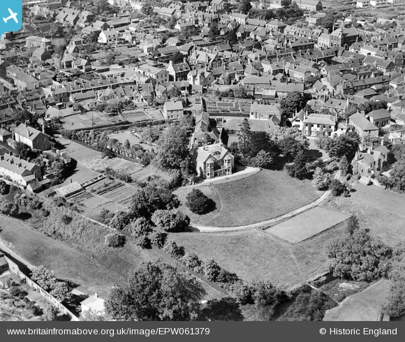
EPW061379 ENGLAND (1939). Castle Close, Pound Lane and environs, Wareham, 1939
© Copyright OpenStreetMap contributors and licensed by the OpenStreetMap Foundation. 2026. Cartography is licensed as CC BY-SA.
Nearby Images (13)
EPW061379

EPW061382

EPW061385

EPW061380

EPW061381

EPW061384

EPW061383

EPW032294

EPW013663

EPW013661

EAW018159

EPW032293

EPW032295

Details
| Title | [EPW061379] Castle Close, Pound Lane and environs, Wareham, 1939 |
| Reference | EPW061379 |
| Date | 4-June-1939 |
| Link | |
| Place name | WAREHAM |
| Parish | WAREHAM TOWN |
| District | |
| Country | ENGLAND |
| Easting / Northing | 392173, 87182 |
| Longitude / Latitude | -2.1108029981946, 50.683662801208 |
| National Grid Reference | SY922872 |
Pins

alastair wallace |
Monday 19th of October 2015 08:11:43 PM | |
|
alastair wallace |
Monday 19th of October 2015 08:10:55 PM | |
|
micky |
Friday 13th of December 2013 05:10:49 PM |