
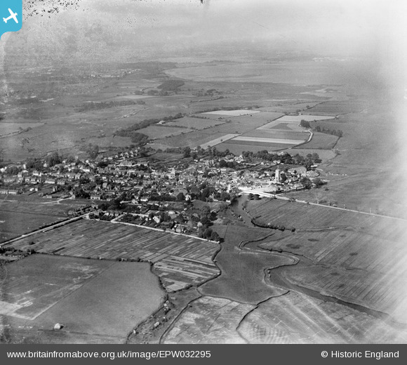
EPW032295 ENGLAND (1930). The town and surrounding countryside, Wareham, from the south-west, 1930
© Copyright OpenStreetMap contributors and licensed by the OpenStreetMap Foundation. 2026. Cartography is licensed as CC BY-SA.
Nearby Images (8)
EPW032295

EPW061384

EPW061383

EPW061385

EPW061379

EPW061382

EPW061380

EPW061381

Details
| Title | [EPW032295] The town and surrounding countryside, Wareham, from the south-west, 1930 |
| Reference | EPW032295 |
| Date | June-1930 |
| Link | |
| Place name | WAREHAM |
| Parish | WAREHAM TOWN |
| District | |
| Country | ENGLAND |
| Easting / Northing | 392021, 86963 |
| Longitude / Latitude | -2.1129500548622, 50.681691104915 |
| National Grid Reference | SY920870 |
Pins

Class31 |
Monday 5th of November 2012 02:39:31 PM | |
|
Class31 |
Monday 5th of November 2012 02:38:59 PM | |
|
Class31 |
Monday 5th of November 2012 02:37:43 PM | |
|
Class31 |
Monday 5th of November 2012 02:36:37 PM | |
|
Class31 |
Monday 5th of November 2012 02:36:12 PM |