
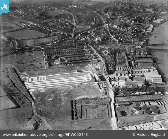
EPW060443 ENGLAND (1939). The British Fibrocement Works and environs, Erith, 1939
© Copyright OpenStreetMap contributors and licensed by the OpenStreetMap Foundation. 2026. Cartography is licensed as CC BY-SA.
Nearby Images (19)
EPW060443

EPW060439

EPW060441

EPW060438

EPW060446

EPW060440

EPW060444

EPW060442

EPW060435

EPW060437

EPW060436

EPW045628

EPW060434

EPW060445

EPW045625

EPW045622

EPW045626

EPW045627

EPW045624

Details
| Title | [EPW060443] The British Fibrocement Works and environs, Erith, 1939 |
| Reference | EPW060443 |
| Date | 6-February-1939 |
| Link | |
| Place name | ERITH |
| Parish | |
| District | |
| Country | ENGLAND |
| Easting / Northing | 551924, 177694 |
| Longitude / Latitude | 0.18794654499209, 51.477289918572 |
| National Grid Reference | TQ519777 |
Pins

Jeannette |
Thursday 24th of January 2019 07:16:49 AM |