
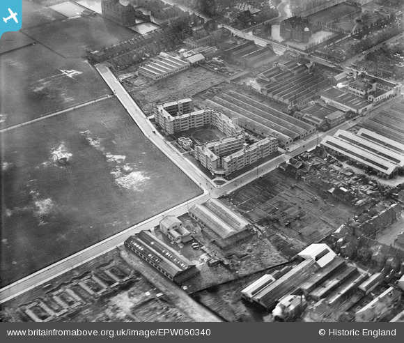
EPW060340 ENGLAND (1939). Coleman Court, Kimber Road, Burr Road and environs, Southfields, 1939
© Copyright OpenStreetMap contributors and licensed by the OpenStreetMap Foundation. 2026. Cartography is licensed as CC BY-SA.
Nearby Images (21)
EPW060340

EPW060341

EPW058949

EPW060339

EPW060338

EPW058946

EPW058948

EPW060336

EPW060337

EPW058947

EPW058595

EPW058597

EPW058598

EPW058596

EAW000092

EAW000093

EAW000090

EAW000091

EPW031958

EAW000089

EPW031954

Details
| Title | [EPW060340] Coleman Court, Kimber Road, Burr Road and environs, Southfields, 1939 |
| Reference | EPW060340 |
| Date | 11-January-1939 |
| Link | |
| Place name | SOUTHFIELDS |
| Parish | |
| District | |
| Country | ENGLAND |
| Easting / Northing | 525464, 173677 |
| Longitude / Latitude | -0.19432017104428, 51.447673853176 |
| National Grid Reference | TQ255737 |
