
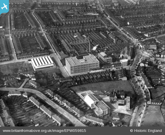
EPW059815 ENGLAND (1938). Southalls Charford Mills and environs, Birmingham, 1938. This image has been produced from a print.
© Copyright OpenStreetMap contributors and licensed by the OpenStreetMap Foundation. 2026. Cartography is licensed as CC BY-SA.
Nearby Images (3)
EPW059815

EPW059813

EPW058131

Details
| Title | [EPW059815] Southalls Charford Mills and environs, Birmingham, 1938. This image has been produced from a print. |
| Reference | EPW059815 |
| Date | 8-October-1938 |
| Link | |
| Place name | BIRMINGHAM |
| Parish | |
| District | |
| Country | ENGLAND |
| Easting / Northing | 411003, 287634 |
| Longitude / Latitude | -1.8379477455179, 52.486144680768 |
| National Grid Reference | SP110876 |
Pins
Be the first to add a comment to this image!