
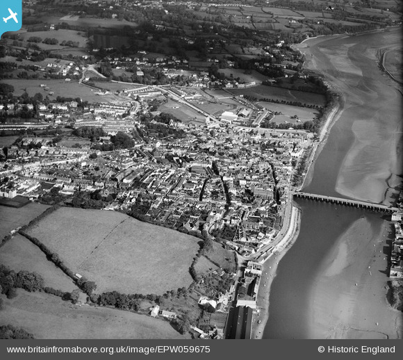
EPW059675 ENGLAND (1938). Bideford Bridge and the town, Bideford, 1938
© Copyright OpenStreetMap contributors and licensed by the OpenStreetMap Foundation. 2026. Cartography is licensed as CC BY-SA.
Nearby Images (10)
EPW059675

EAW007550

EPW039894

EPW033216

EPW039892

EAW053028

EPW033215

EPW039893

EPW033218

EAW031034

Details
| Title | [EPW059675] Bideford Bridge and the town, Bideford, 1938 |
| Reference | EPW059675 |
| Date | 22-September-1938 |
| Link | |
| Place name | BIDEFORD |
| Parish | BIDEFORD |
| District | |
| Country | ENGLAND |
| Easting / Northing | 245264, 126483 |
| Longitude / Latitude | -4.2062710746222, 51.016337563074 |
| National Grid Reference | SS453265 |
Pins

User Comment Contributions

Bideford Bridge 17/03/2013 |

Class31 |
Monday 6th of January 2014 02:49:05 PM |