
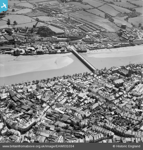
EAW031034 ENGLAND (1950). Bideford Long Bridge and environs, Bideford, 1950
© Copyright OpenStreetMap contributors and licensed by the OpenStreetMap Foundation. 2026. Cartography is licensed as CC BY-SA.
Nearby Images (9)
EAW031034

EPW033218

EPW039893

EPW033216

EPW039894

EAW007550

EAW053028

EPW059675

EPW039892

Details
| Title | [EAW031034] Bideford Long Bridge and environs, Bideford, 1950 |
| Reference | EAW031034 |
| Date | 11-July-1950 |
| Link | |
| Place name | BIDEFORD |
| Parish | BIDEFORD |
| District | |
| Country | ENGLAND |
| Easting / Northing | 245504, 126524 |
| Longitude / Latitude | -4.2028692590664, 51.01677055283 |
| National Grid Reference | SS455265 |
Pins

gerry-r |
Sunday 18th of August 2024 09:11:38 AM |