
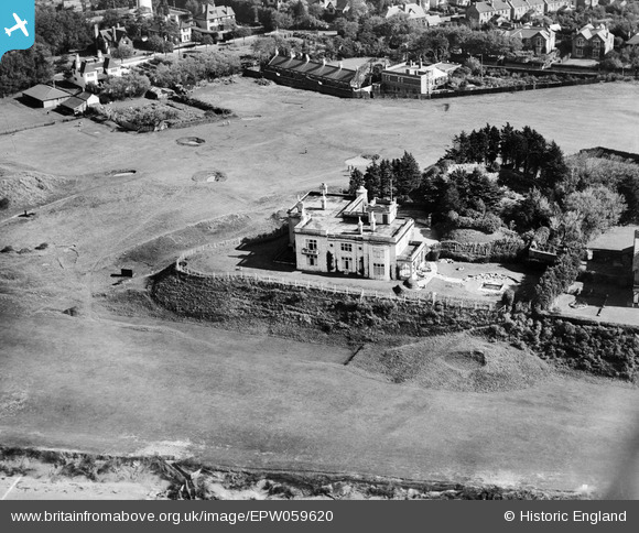
EPW059620 ENGLAND (1938). The Mount, Burnham-on-Sea, 1938
© Copyright OpenStreetMap contributors and licensed by the OpenStreetMap Foundation. 2026. Cartography is licensed as CC BY-SA.
Nearby Images (3)
EPW059620

EAW049746

EPW027972

Details
| Title | [EPW059620] The Mount, Burnham-on-Sea, 1938 |
| Reference | EPW059620 |
| Date | 24-September-1938 |
| Link | |
| Place name | BURNHAM-ON-SEA |
| Parish | BURNHAM-ON-SEA AND HIGHBRIDGE |
| District | |
| Country | ENGLAND |
| Easting / Northing | 330189, 150192 |
| Longitude / Latitude | -3.0002970750726, 51.246111127699 |
| National Grid Reference | ST302502 |
Pins


User Comment Contributions
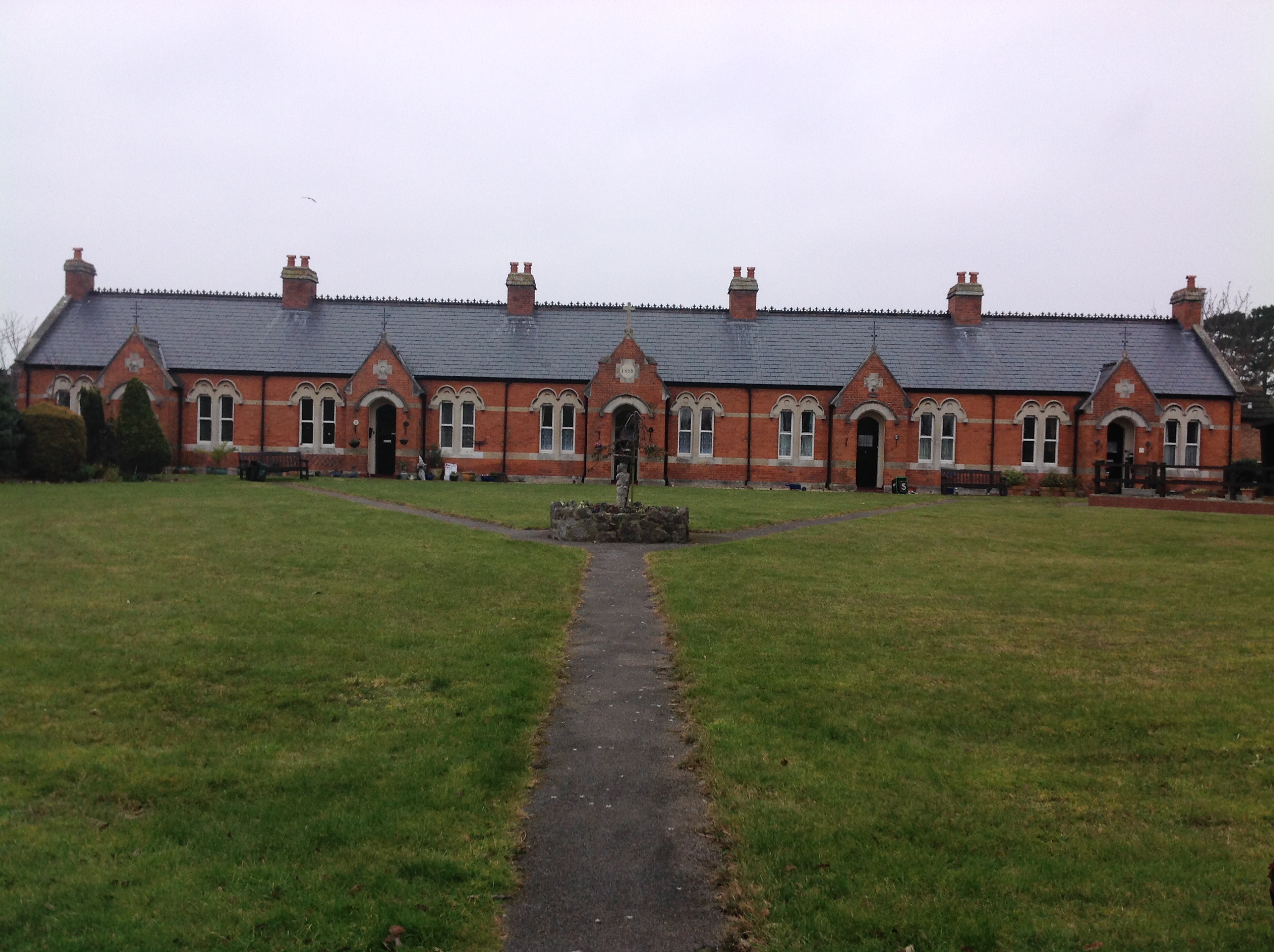
Ellen's Cottages (Almshouses), Burnham-on-Sea, 10/02/2015 |

Class31 |
Wednesday 11th of February 2015 10:02:44 AM |