
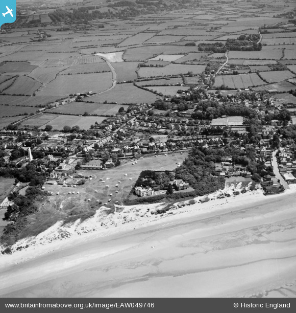
EAW049746 ENGLAND (1953). The caravan park on the dunes, Burnham-on-Sea, 1953
© Copyright OpenStreetMap contributors and licensed by the OpenStreetMap Foundation. 2026. Cartography is licensed as CC BY-SA.
Nearby Images (5)
EAW049746

EPW059620

EPW027972

EPW059591

EPW059593

Details
| Title | [EAW049746] The caravan park on the dunes, Burnham-on-Sea, 1953 |
| Reference | EAW049746 |
| Date | 28-May-1953 |
| Link | |
| Place name | BURNHAM-ON-SEA |
| Parish | BURNHAM-ON-SEA AND HIGHBRIDGE |
| District | |
| Country | ENGLAND |
| Easting / Northing | 330415, 150213 |
| Longitude / Latitude | -2.9970634112783, 51.246327574507 |
| National Grid Reference | ST304502 |
Pins
 |

Class31 |
Wednesday 11th of February 2015 10:25:56 AM |
|
Class31 |
Wednesday 11th of February 2015 10:24:12 AM | |
|
Class31 |
Wednesday 11th of February 2015 10:22:17 AM | |
|
Class31 |
Wednesday 11th of February 2015 10:19:47 AM | |
|
Class31 |
Wednesday 11th of February 2015 10:19:06 AM |


User Comment Contributions

The Grove, Burnham-on-Sea, 10/02/2015 |
Class31 |
Wednesday 11th of February 2015 10:22:44 AM |
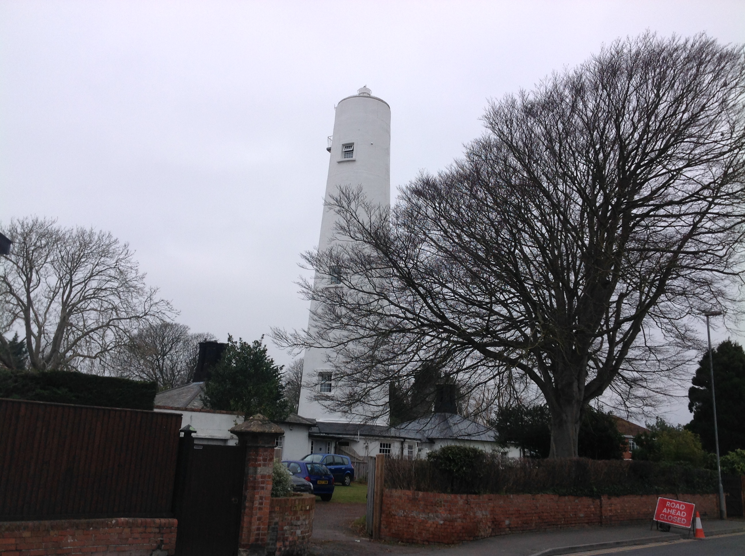
Burnham High Lighthouse, Burnham-on-Sea, 10/02/2015 |
Class31 |
Wednesday 11th of February 2015 10:21:06 AM |

Ellen's Cottages (Almshouses), Burnham-on-Sea, 10/02/2015 |
Class31 |
Wednesday 11th of February 2015 10:20:07 AM |