
EPW027972 ENGLAND (1929). Burnham High Lighthouse and environs, Burnham-on-Sea, 1929

© Copyright OpenStreetMap contributors and licensed by the OpenStreetMap Foundation. 2026. Cartography is licensed as CC BY-SA.
Nearby Images (4)
EPW027972

EAW049743

EAW049746

EPW059620

Details
| Title | [EPW027972] Burnham High Lighthouse and environs, Burnham-on-Sea, 1929 |
| Reference | EPW027972 |
| Date | June-1929 |
| Link | |
| Place name | BURNHAM-ON-SEA |
| Parish | BURNHAM-ON-SEA AND HIGHBRIDGE |
| District | |
| Country | ENGLAND |
| Easting / Northing | 330319, 150436 |
| Longitude / Latitude | -2.9984821664207, 51.248320961958 |
| National Grid Reference | ST303504 |
Pins

Class31 |
Tuesday 10th of February 2015 09:12:55 PM | |
 |
Class31 |
Tuesday 10th of February 2015 09:06:04 PM |

Johnboy |
Saturday 21st of December 2013 04:55:42 PM | |
|
Class31 |
Wednesday 6th of March 2013 07:46:10 PM | |
|
Class31 |
Wednesday 6th of March 2013 07:43:19 PM | |
|
Class31 |
Wednesday 6th of March 2013 07:42:01 PM | |
|
Class31 |
Wednesday 6th of March 2013 07:40:35 PM | |
|
Class31 |
Wednesday 6th of March 2013 07:39:31 PM | |
|
Class31 |
Wednesday 6th of March 2013 07:38:47 PM | |
|
Class31 |
Wednesday 6th of March 2013 07:37:03 PM | |
|
Class31 |
Wednesday 6th of March 2013 07:35:35 PM |

User Comment Contributions

Ellen's Cottages (Almshouses), Burnham-on-Sea, 10/02/2015 |
Class31 |
Tuesday 10th of February 2015 09:11:11 PM |
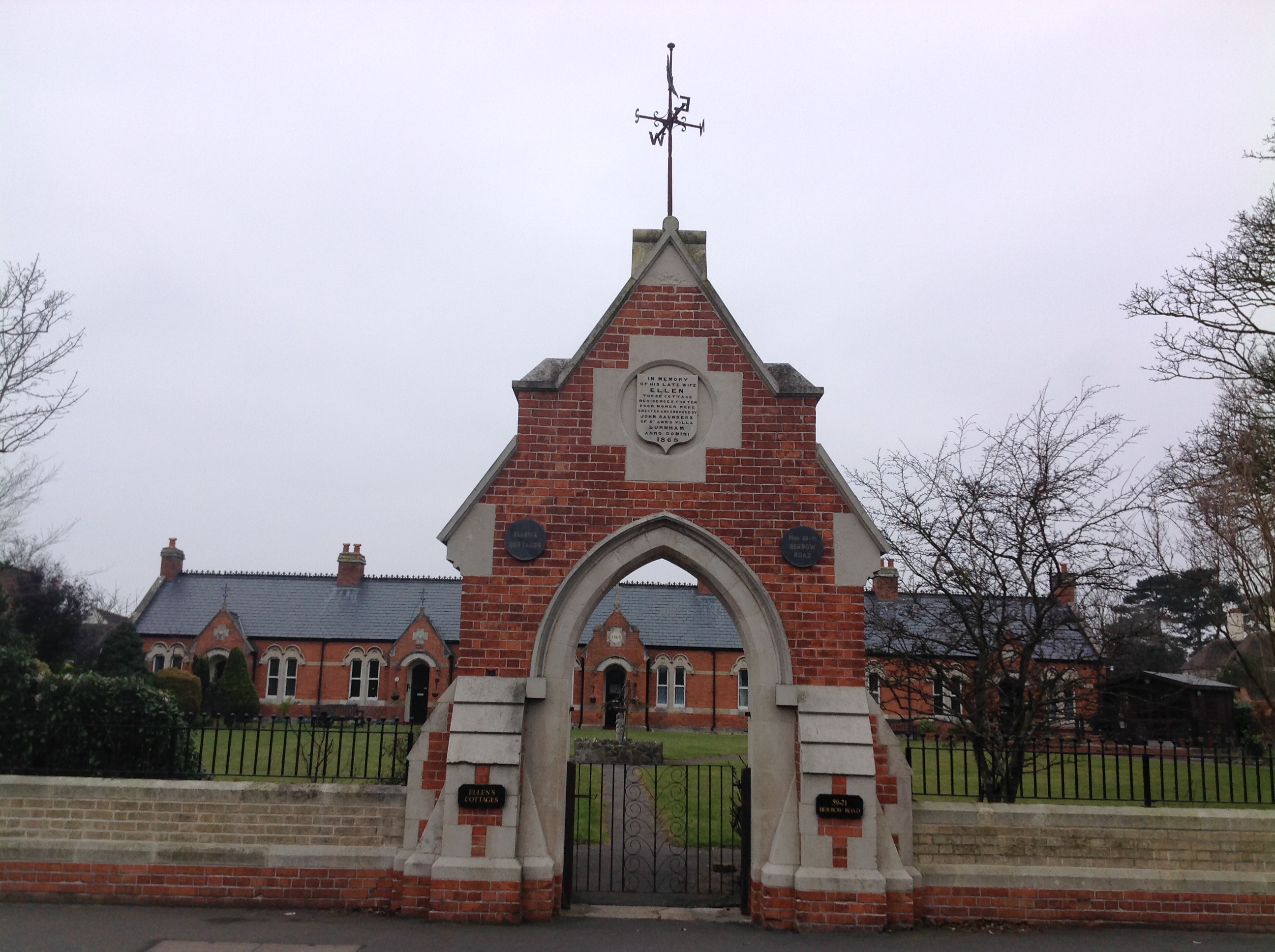
Ellen's Cottages (Almshouses), Burnham-on-Sea, 10/02/2015 |
Class31 |
Tuesday 10th of February 2015 09:10:50 PM |
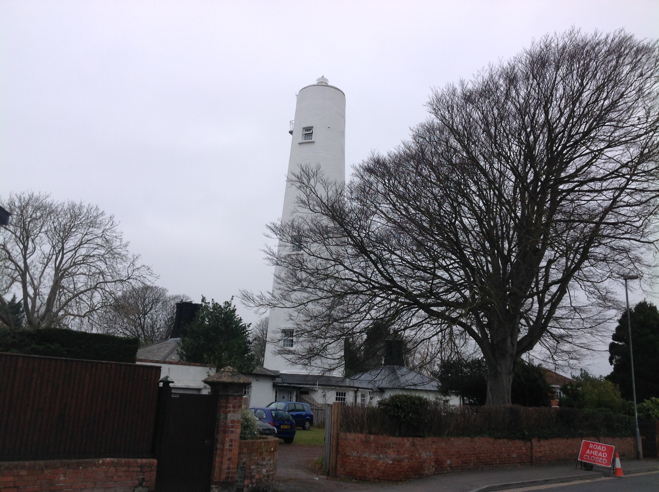
Burnham High Lighthouse, Burnham-on-Sea, 10/02/2015 |
Class31 |
Tuesday 10th of February 2015 09:08:22 PM |