
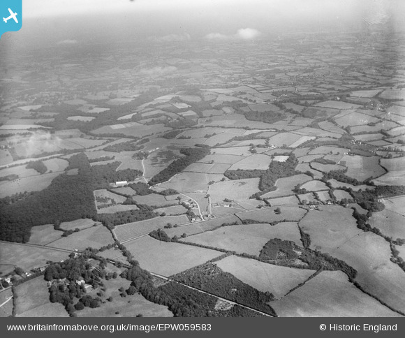
EPW059583 ENGLAND (1938). Gill Wood and surrounding countryside, Northlands, from the south-west, 1938
© Copyright OpenStreetMap contributors and licensed by the OpenStreetMap Foundation. 2026. Cartography is licensed as CC BY-SA.
Nearby Images (7)
EPW059583

EPW059574

EPW059209

EPW059207

EPW059564

EPW059251

EPW059565

Details
| Title | [EPW059583] Gill Wood and surrounding countryside, Northlands, from the south-west, 1938 |
| Reference | EPW059583 |
| Date | 23-September-1938 |
| Link | |
| Place name | NORTHLANDS |
| Parish | BODIAM |
| District | |
| Country | ENGLAND |
| Easting / Northing | 577233, 126618 |
| Longitude / Latitude | 0.52679321984127, 51.011056858598 |
| National Grid Reference | TQ772266 |
Pins
Be the first to add a comment to this image!