
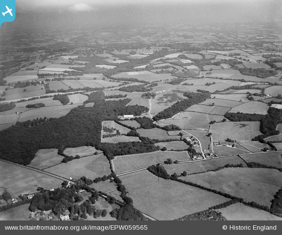
EPW059565 ENGLAND (1938). Bodiam Wood and surrounding countryside, Bodiam, from the south, 1938
© Copyright OpenStreetMap contributors and licensed by the OpenStreetMap Foundation. 2026. Cartography is licensed as CC BY-SA.
Nearby Images (5)
EPW059565

EPW059564

EPW059253

EPW059574

EPW059583

Details
| Title | [EPW059565] Bodiam Wood and surrounding countryside, Bodiam, from the south, 1938 |
| Reference | EPW059565 |
| Date | 23-September-1938 |
| Link | |
| Place name | BODIAM |
| Parish | BODIAM |
| District | |
| Country | ENGLAND |
| Easting / Northing | 576990, 126565 |
| Longitude / Latitude | 0.52330653517222, 51.010655513246 |
| National Grid Reference | TQ770266 |
Pins
Be the first to add a comment to this image!