
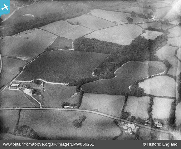
EPW059251 ENGLAND (1938). Gill Wood and environs, Bodiam, 1938
© Copyright OpenStreetMap contributors and licensed by the OpenStreetMap Foundation. 2026. Cartography is licensed as CC BY-SA.
Nearby Images (4)
EPW059251

EPW059209

EPW059207

EPW059583

Details
| Title | [EPW059251] Gill Wood and environs, Bodiam, 1938 |
| Reference | EPW059251 |
| Date | 11-September-1938 |
| Link | |
| Place name | BODIAM |
| Parish | BODIAM |
| District | |
| Country | ENGLAND |
| Easting / Northing | 577400, 126445 |
| Longitude / Latitude | 0.52908705358479, 51.009451052502 |
| National Grid Reference | TQ774264 |
Pins
Be the first to add a comment to this image!