
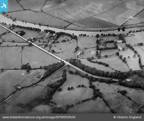
EPW059506 ENGLAND (1938). The village, Samlesbury, 1938
© Copyright OpenStreetMap contributors and licensed by the OpenStreetMap Foundation. 2025. Cartography is licensed as CC BY-SA.
Nearby Images (3)
EPW059506

EPW059498

EPW059494

Details
| Title | [EPW059506] The village, Samlesbury, 1938 |
| Reference | EPW059506 |
| Date | 22-September-1938 |
| Link | |
| Place name | SAMLESBURY |
| Parish | SAMLESBURY |
| District | |
| Country | ENGLAND |
| Easting / Northing | 359002, 430162 |
| Longitude / Latitude | -2.6220309833927, 53.765972476205 |
| National Grid Reference | SD590302 |
Pins
Be the first to add a comment to this image!