
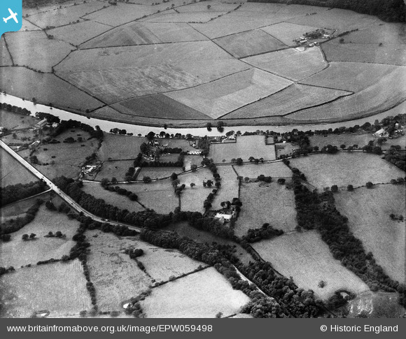
EPW059498 ENGLAND (1938). Preston New Road and the village, Samlesbury, 1938
© Copyright OpenStreetMap contributors and licensed by the OpenStreetMap Foundation. 2025. Cartography is licensed as CC BY-SA.
Nearby Images (4)
EPW059498

EPW059500

EPW059497

EPW059506

Details
| Title | [EPW059498] Preston New Road and the village, Samlesbury, 1938 |
| Reference | EPW059498 |
| Date | 22-October-1938 |
| Link | |
| Place name | SAMLESBURY |
| Parish | SAMLESBURY |
| District | |
| Country | ENGLAND |
| Easting / Northing | 359102, 430408 |
| Longitude / Latitude | -2.6205464645045, 53.76819151697 |
| National Grid Reference | SD591304 |
Pins
Be the first to add a comment to this image!