
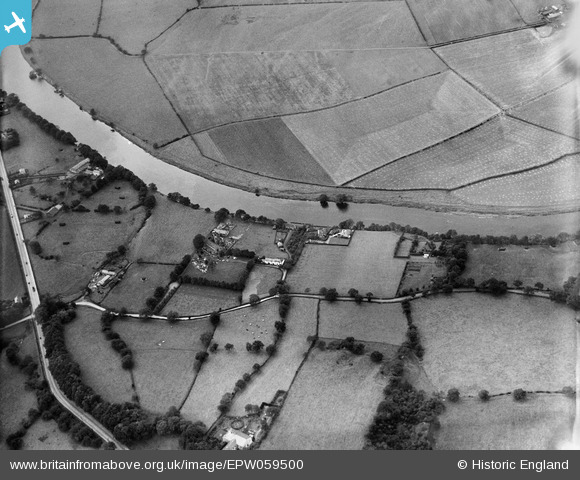
EPW059500 ENGLAND (1938). Potter Lane by St Leonard's Church and environs, Samlesbury, 1938
© Copyright OpenStreetMap contributors and licensed by the OpenStreetMap Foundation. 2025. Cartography is licensed as CC BY-SA.
Nearby Images (3)
EPW059500

EPW059498

EPW059494

Details
| Title | [EPW059500] Potter Lane by St Leonard's Church and environs, Samlesbury, 1938 |
| Reference | EPW059500 |
| Date | 22-October-1938 |
| Link | |
| Place name | SAMLESBURY |
| Parish | SAMLESBURY |
| District | |
| Country | ENGLAND |
| Easting / Northing | 358981, 430466 |
| Longitude / Latitude | -2.6223899926288, 53.768703335391 |
| National Grid Reference | SD590305 |
Pins
Be the first to add a comment to this image!