
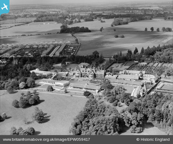
EPW059417 ENGLAND (1938). The Manfield Orthopaedic Hospital, Northampton, from the south-east, 1938
© Copyright OpenStreetMap contributors and licensed by the OpenStreetMap Foundation. 2025. Cartography is licensed as CC BY-SA.
Nearby Images (8)
EPW059417

EPW059424

EPW059418

EPW059423

EPW059422

EPW059421

EPW059419

EPW059420

Details
| Title | [EPW059417] The Manfield Orthopaedic Hospital, Northampton, from the south-east, 1938 |
| Reference | EPW059417 |
| Date | 13-September-1938 |
| Link | |
| Place name | NORTHAMPTON |
| Parish | |
| District | |
| Country | ENGLAND |
| Easting / Northing | 477793, 263597 |
| Longitude / Latitude | -0.85996394339813, 52.264631462186 |
| National Grid Reference | SP778636 |
Pins

Jay C |
Sunday 15th of November 2020 08:14:28 AM |