
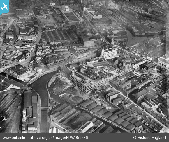
EPW059236 ENGLAND (1938). The Atlas Works on Oozells Street, the Birmingham Canal and environs, Ladywood, 1938
© Copyright OpenStreetMap contributors and licensed by the OpenStreetMap Foundation. 2026. Cartography is licensed as CC BY-SA.
Nearby Images (19)
EPW059236

EPW059235

EPW059237

EPW058074

EPW058073

EPW058075

EPW005844

EPW055778

EPW058072

EPW055777

EPW055780

EPW058069

EPW058071

EPW055775

EPW058070

EPW054231

EPW005846

EPW041474

EPW048534

Details
| Title | [EPW059236] The Atlas Works on Oozells Street, the Birmingham Canal and environs, Ladywood, 1938 |
| Reference | EPW059236 |
| Date | 8-September-1938 |
| Link | |
| Place name | LADYWOOD |
| Parish | |
| District | |
| Country | ENGLAND |
| Easting / Northing | 406054, 286718 |
| Longitude / Latitude | -1.9108531630085, 52.477986306558 |
| National Grid Reference | SP061867 |
Pins

SteveN |
Wednesday 5th of April 2023 02:49:47 PM | |
|
SteveN |
Wednesday 5th of April 2023 02:48:09 PM | |
|
SteveN |
Wednesday 5th of April 2023 02:45:07 PM | |
|
foxgrove |
Friday 21st of August 2015 10:42:14 PM | |

Class31 |
Tuesday 19th of August 2014 01:08:26 PM | |
|
Class31 |
Tuesday 19th of August 2014 01:05:02 PM |


User Comment Contributions

The Hall of Memory, Birmingham, 09/08/2014 |
Class31 |
Tuesday 19th of August 2014 01:05:46 PM |