
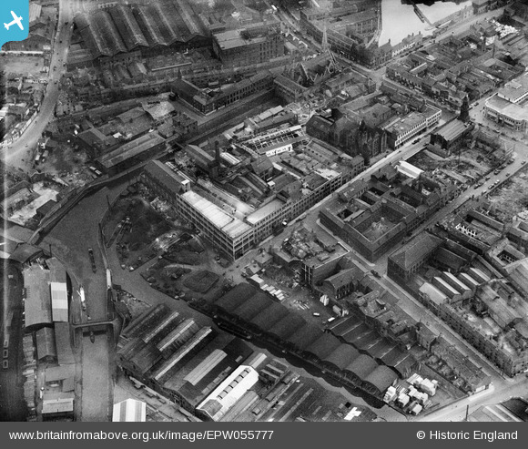
EPW055777 ENGLAND (1937). The Atlas Works off Oozells Street, Ladywood, 1937
© Copyright OpenStreetMap contributors and licensed by the OpenStreetMap Foundation. 2026. Cartography is licensed as CC BY-SA.
Nearby Images (16)
EPW055777

EPW055780

EPW055775

EPW055778

EPW058070

EPW058075

EPW058073

EPW058074

EPW058071

EPW058069

EPW058072

EPW059237

EPW059236

EPW054231

EPW059235

EPW005844

Details
| Title | [EPW055777] The Atlas Works off Oozells Street, Ladywood, 1937 |
| Reference | EPW055777 |
| Date | 11-October-1937 |
| Link | |
| Place name | LADYWOOD |
| Parish | |
| District | |
| Country | ENGLAND |
| Easting / Northing | 405965, 286687 |
| Longitude / Latitude | -1.9121642661465, 52.47770856575 |
| National Grid Reference | SP060867 |
Pins

Toothfairy |
Wednesday 4th of November 2015 11:32:27 AM | |
|
Martin |
Tuesday 11th of August 2015 10:32:24 AM | |
|
PURCELL |
Saturday 22nd of March 2014 09:12:30 PM | |
|
PURCELL |
Saturday 22nd of March 2014 09:12:30 PM | |
|
PURCELL |
Saturday 22nd of March 2014 09:11:52 PM | |
|
PURCELL |
Saturday 22nd of March 2014 09:10:23 PM | |
|
PURCELL |
Saturday 22nd of March 2014 09:09:54 PM |