
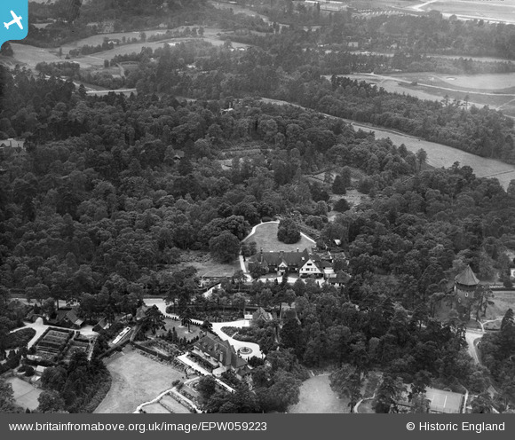
EPW059223 ENGLAND (1938). Sefton and surrounding woodland and properties, St George's Hill, 1938
© Copyright OpenStreetMap contributors and licensed by the OpenStreetMap Foundation. 2026. Cartography is licensed as CC BY-SA.
Nearby Images (7)
EPW059223

EPW059220

EPW059219

EPW059221

EPW059224

EPW059222

EPW059225

Details
| Title | [EPW059223] Sefton and surrounding woodland and properties, St George's Hill, 1938 |
| Reference | EPW059223 |
| Date | 11-September-1938 |
| Link | |
| Place name | ST GEORGE'S HILL |
| Parish | |
| District | |
| Country | ENGLAND |
| Easting / Northing | 508458, 162490 |
| Longitude / Latitude | -0.44238592145239, 51.350623586809 |
| National Grid Reference | TQ085625 |
Pins

Ferrers |
Saturday 29th of May 2021 07:13:22 PM |