
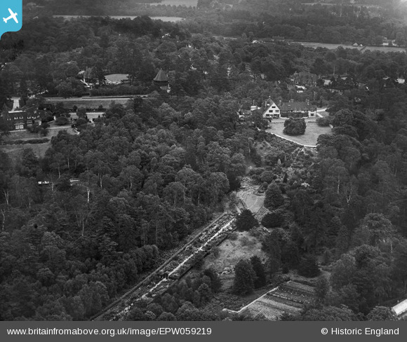
EPW059219 ENGLAND (1938). Sefton and surrounding woodland and properties, St George's Hill, 1938
© Copyright OpenStreetMap contributors and licensed by the OpenStreetMap Foundation. 2026. Cartography is licensed as CC BY-SA.
Nearby Images (7)
EPW059219

EPW059220

EPW059221

EPW059223

EPW059222

EPW059224

EPW059225

Details
| Title | [EPW059219] Sefton and surrounding woodland and properties, St George's Hill, 1938 |
| Reference | EPW059219 |
| Date | 11-September-1938 |
| Link | |
| Place name | ST GEORGE'S HILL |
| Parish | |
| District | |
| Country | ENGLAND |
| Easting / Northing | 508409, 162567 |
| Longitude / Latitude | -0.44306588869174, 51.351325123831 |
| National Grid Reference | TQ084626 |
Pins
Be the first to add a comment to this image!