
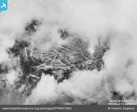
EPW057960 ENGLAND (1938). The area around Eastcote Lane, South Harrow, 1938. This image has been produced from a copy-negative.
© Copyright OpenStreetMap contributors and licensed by the OpenStreetMap Foundation. 2026. Cartography is licensed as CC BY-SA.
Nearby Images (7)
EPW057960

EPW025890

EPW025891

EPW025888

EPW025889

EPW040812

EPW040815

Details
| Title | [EPW057960] The area around Eastcote Lane, South Harrow, 1938. This image has been produced from a copy-negative. |
| Reference | EPW057960 |
| Date | 13-July-1938 |
| Link | |
| Place name | SOUTH HARROW |
| Parish | |
| District | |
| Country | ENGLAND |
| Easting / Northing | 512825, 186208 |
| Longitude / Latitude | -0.37212795755899, 51.562973245015 |
| National Grid Reference | TQ128862 |
Pins

alec |
Monday 24th of August 2020 02:15:27 AM | |
|
Peter |
Monday 4th of November 2019 01:57:08 PM | |
|
MATT SPRING |
Wednesday 5th of August 2015 04:52:42 PM |