
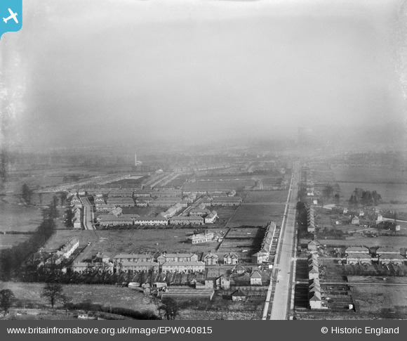
EPW040815 ENGLAND (1933). Eastcote Lane, Rosebery Avenue and environs, South Harrow, from the south-west, 1933
© Copyright OpenStreetMap contributors and licensed by the OpenStreetMap Foundation. 2026. Cartography is licensed as CC BY-SA.
Nearby Images (7)
EPW040815

EPW040812

EPW025889

EPW025888

EPW025891

EPW025890

EPW057960

Details
| Title | [EPW040815] Eastcote Lane, Rosebery Avenue and environs, South Harrow, from the south-west, 1933 |
| Reference | EPW040815 |
| Date | February-1933 |
| Link | |
| Place name | SOUTH HARROW |
| Parish | |
| District | |
| Country | ENGLAND |
| Easting / Northing | 512686, 186023 |
| Longitude / Latitude | -0.37419193777454, 51.561338115547 |
| National Grid Reference | TQ127860 |
Pins

Caretaker |
Saturday 6th of December 2014 05:58:23 PM |