
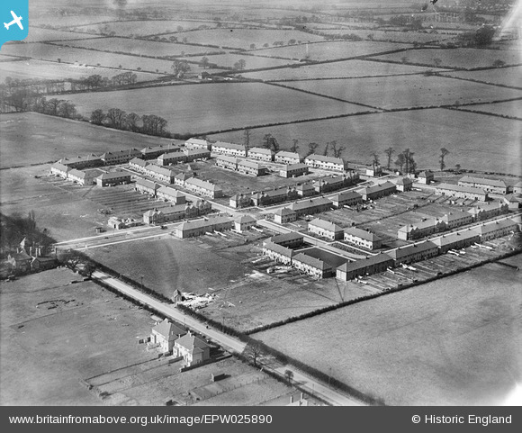
EPW025890 ENGLAND (1929). New housing off Eastcote Lane, South Harrow, 1929
© Copyright OpenStreetMap contributors and licensed by the OpenStreetMap Foundation. 2026. Cartography is licensed as CC BY-SA.
Nearby Images (7)
EPW025890

EPW025891

EPW057960

EPW025888

EPW025889

EPW040812

EPW040815

Details
| Title | [EPW025890] New housing off Eastcote Lane, South Harrow, 1929 |
| Reference | EPW025890 |
| Date | March-1929 |
| Link | |
| Place name | SOUTH HARROW |
| Parish | |
| District | |
| Country | ENGLAND |
| Easting / Northing | 512836, 186167 |
| Longitude / Latitude | -0.37198247925351, 51.562602503987 |
| National Grid Reference | TQ128862 |
Pins

PaulN |
Sunday 29th of May 2022 10:07:19 PM | |

Class31 |
Saturday 5th of January 2013 09:26:11 AM | |
|
Class31 |
Saturday 5th of January 2013 09:25:49 AM | |
|
Class31 |
Saturday 5th of January 2013 09:25:23 AM | |
|
Class31 |
Saturday 5th of January 2013 09:25:04 AM | |
|
roxeth |
Sunday 7th of October 2012 09:37:12 AM | |
|
roxeth |
Sunday 7th of October 2012 09:36:09 AM | |
|
Ron B |
Sunday 9th of September 2012 10:23:54 AM | |
|
Ron B |
Sunday 9th of September 2012 10:16:37 AM | |
|
Ron B |
Sunday 9th of September 2012 10:15:17 AM |