
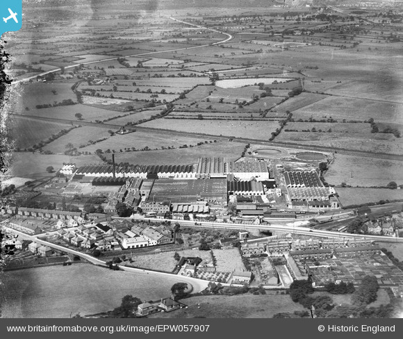
EPW057907 ENGLAND (1938). British Insulated Cable Works, Helsby, from the east, 1938
© Copyright OpenStreetMap contributors and licensed by the OpenStreetMap Foundation. 2026. Cartography is licensed as CC BY-SA.
Nearby Images (39)
EPW057907

EPW060293

EPW060291

EAW021976

EPW060290

EPW060296

EAW021977

EAW015878

EPW062722

EPW060297

EPW057913

EPW057908

EPW036904

EPW036903

EPW036906

EPW062725

EPW060300

EPW062724

EPW029587

EPW060299

EPW060292

EPW060294

EAW015880
, Helsby, 1948. This image has been produced from a damaged negative.")
EAW021978

EPW036905

EAW021979

EPW062723

EPW062727

EPW060298

EAW021975

EPW060295

EAW021973

EPW057910

EAW015879

EPW062726

EAW021980

EAW021974

EPW060301

EAW021972

Details
| Title | [EPW057907] British Insulated Cable Works, Helsby, from the east, 1938 |
| Reference | EPW057907 |
| Date | 2-July-1938 |
| Link | |
| Place name | HELSBY |
| Parish | HELSBY |
| District | |
| Country | ENGLAND |
| Easting / Northing | 348406, 374694 |
| Longitude / Latitude | -2.7736451860732, 53.266450526193 |
| National Grid Reference | SJ484747 |
Pins
Be the first to add a comment to this image!