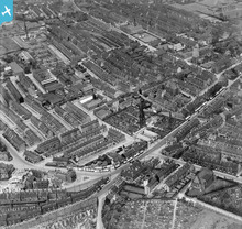
EPW057280 ENGLAND (1938). King Cross Road and environs, Halifax, 1938
© Copyright OpenStreetMap contributors and licensed by the OpenStreetMap Foundation. 2026. Cartography is licensed as CC BY-SA.
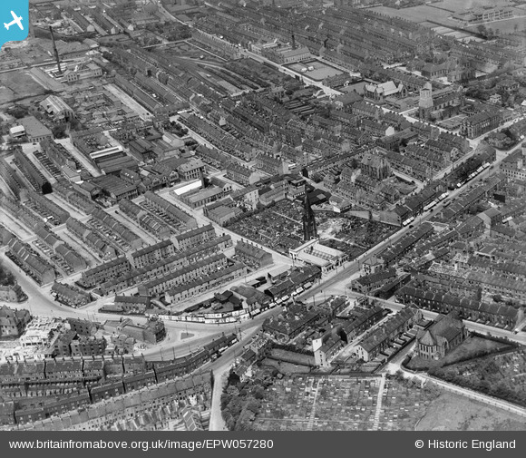
Nearby Images (4)
EPW057280

EPW036877

EPW036876

EPW036878

Details
| Title | [EPW057280] King Cross Road and environs, Halifax, 1938 |
| Reference | EPW057280 |
| Date | 25-May-1938 |
| Link | |
| Place name | HALIFAX |
| Parish | |
| District | |
| Country | ENGLAND |
| Easting / Northing | 407790, 424350 |
| Longitude / Latitude | -1.8819511572547, 53.7152833298 |
| National Grid Reference | SE078244 |
Pins

ynotna |
Wednesday 26th of April 2023 09:06:01 AM | |
|
John Wass |
Monday 29th of June 2020 08:28:08 PM | |
|
AJ427 |
Wednesday 12th of March 2014 09:54:01 AM | |
Terminus of a branch from Holmfield. Opened 1890, closed to passengers 1917 and completely in 1960. See http://www.disused-stations.org.uk/h/halifax_st_pauls/index.shtml for a history of this station and it's line, and photos of the station in use and after closure. |
John W |
Monday 21st of November 2016 08:32:09 PM |
|
Tonemart |
Saturday 21st of December 2013 02:18:31 PM |