
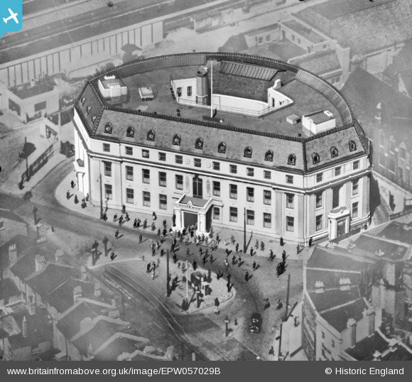
EPW057029B ENGLAND (1938). The Town Hall (extract from glass plate 57029), Wimbledon, 1938. This image was modified by the Aerofilms Ltd Artists' Department and has been produced from a copy-negative.
© Copyright OpenStreetMap contributors and licensed by the OpenStreetMap Foundation. 2026. Cartography is licensed as CC BY-SA.
Nearby Images (10)
EPW057029B
, Wimbledon, 1938. This image was modified by the Aerofilms Ltd Artists' Department and has been produced from a copy-negative.")
EPW057029

EPW057029A
, Wimbledon, 1938. This image has been produced from a copy-negative.")
EPW057027

EPW011654

EPW057031

EPW011653

EPW010723

EPW057030

EPW057026

Details
| Title | [EPW057029B] The Town Hall (extract from glass plate 57029), Wimbledon, 1938. This image was modified by the Aerofilms Ltd Artists' Department and has been produced from a copy-negative. |
| Reference | EPW057029B |
| Date | 5-May-1938 |
| Link | |
| Place name | WIMBLEDON |
| Parish | |
| District | |
| Country | ENGLAND |
| Easting / Northing | 524903, 170602 |
| Longitude / Latitude | -0.2034745800668, 51.420159233186 |
| National Grid Reference | TQ249706 |
