
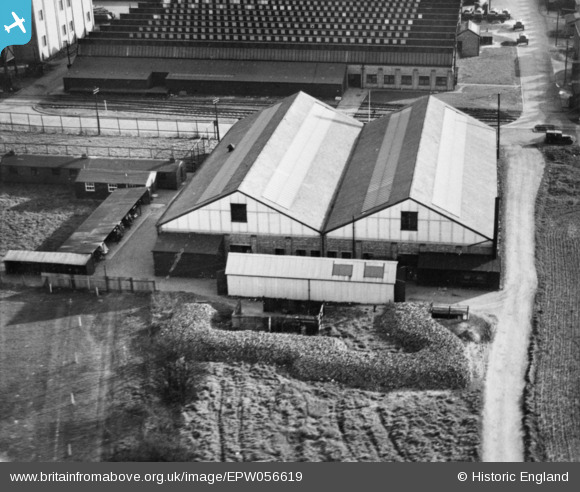
EPW056619 ENGLAND (1938). Part of the Slough Trading Estate on Fairlie Road, Slough, 1938. This image has been produced from a copy-negative.
© Copyright OpenStreetMap contributors and licensed by the OpenStreetMap Foundation. 2026. Cartography is licensed as CC BY-SA.
Nearby Images (13)
EPW056619

EPW015613

EPW000025

EPW015616

EPW025663

EAW015084

EPW015614

EPW000021

EPW025662

EPW025666

EPW025667

EPW025672

EPW025664

Details
| Title | [EPW056619] Part of the Slough Trading Estate on Fairlie Road, Slough, 1938. This image has been produced from a copy-negative. |
| Reference | EPW056619 |
| Date | 25-March-1938 |
| Link | |
| Place name | SLOUGH |
| Parish | |
| District | |
| Country | ENGLAND |
| Easting / Northing | 495243, 181599 |
| Longitude / Latitude | -0.62696828161572, 51.52478323459 |
| National Grid Reference | SU952816 |
