
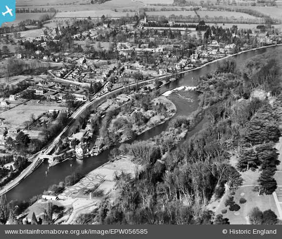
EPW056585 ENGLAND (1938). Boulter's Lock and Ray Mill Island, Maidenhead, 1938
© Copyright OpenStreetMap contributors and licensed by the OpenStreetMap Foundation. 2026. Cartography is licensed as CC BY-SA.
Nearby Images (8)
EPW056585

EPW005696

EAW028018

EPW022723

EAW051193

EAW028019

EAW028017

EAW045408

Details
| Title | [EPW056585] Boulter's Lock and Ray Mill Island, Maidenhead, 1938 |
| Reference | EPW056585 |
| Date | March-1938 |
| Link | |
| Place name | MAIDENHEAD |
| Parish | |
| District | |
| Country | ENGLAND |
| Easting / Northing | 490353, 182577 |
| Longitude / Latitude | -0.69719186000927, 51.534379318421 |
| National Grid Reference | SU904826 |
Pins

misterjohn |
Monday 2nd of January 2023 02:01:50 PM |