
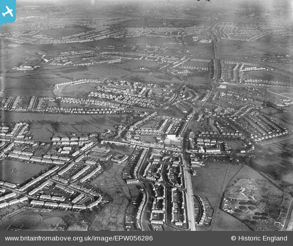
EPW056286 ENGLAND (1938). Greenford Road and environs, Greenford, from the south, 1938
© Copyright OpenStreetMap contributors and licensed by the OpenStreetMap Foundation. 2026. Cartography is licensed as CC BY-SA.
Nearby Images (15)
EPW056286

EPW056274

EPW020330

EPW020330
EPW020327

EPW056275

EPW020328

EPW020326

EPW056277

EPW020325

EPW020329

EPW020329
EPR000617

EPW056284

EPW056276

Details
| Title | [EPW056286] Greenford Road and environs, Greenford, from the south, 1938 |
| Reference | EPW056286 |
| Date | 17-January-1938 |
| Link | |
| Place name | GREENFORD |
| Parish | |
| District | |
| Country | ENGLAND |
| Easting / Northing | 514237, 182045 |
| Longitude / Latitude | -0.35311597343903, 51.525268908809 |
| National Grid Reference | TQ142820 |
Pins

Bayman1 |
Saturday 28th of January 2023 12:56:12 PM | |
|
Bayman1 |
Saturday 28th of January 2023 12:52:40 PM | |
|
Bayman1 |
Saturday 28th of January 2023 12:50:41 PM | |
|
Keith |
Tuesday 30th of December 2014 09:04:08 AM | |
|
Keith |
Tuesday 30th of December 2014 09:02:01 AM | |
|
Keith |
Tuesday 30th of December 2014 09:00:08 AM |