
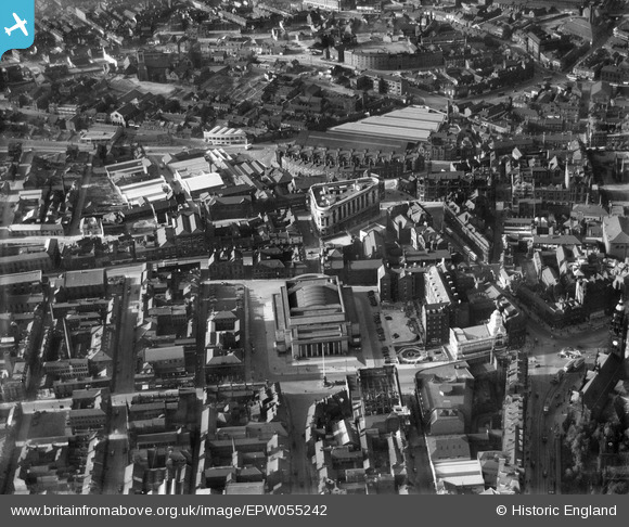
EPW055242 ENGLAND (1937). City Hall and environs, Sheffield, 1937
© Copyright OpenStreetMap contributors and licensed by the OpenStreetMap Foundation. 2026. Cartography is licensed as CC BY-SA.
Nearby Images (18)
EPW055242

EPW061497

EPW055233

EAW037094

EAW042502

EAW042500

EAW031288

EPW015462

EPW015460

EAW037096

EAW031289

EPW021135

EPW055247

EAW042501

EPW055246

EAW037097

EPW015596

EPW047988

Details
| Title | [EPW055242] City Hall and environs, Sheffield, 1937 |
| Reference | EPW055242 |
| Date | 4-September-1937 |
| Link | |
| Place name | SHEFFIELD |
| Parish | |
| District | |
| Country | ENGLAND |
| Easting / Northing | 435160, 387323 |
| Longitude / Latitude | -1.4713650356378, 53.381321073078 |
| National Grid Reference | SK352873 |
Pins

Fantasma |
Friday 14th of March 2014 10:40:55 PM | |
|
Fantasma |
Friday 14th of March 2014 10:39:17 PM | |
|
Annie G |
Monday 18th of November 2013 08:57:43 PM | |
|
Annie G |
Monday 18th of November 2013 08:56:25 PM | |
Wasn't this the Pupil Teacher's Centre? |
Chris Quarmby |
Saturday 20th of February 2016 09:01:24 PM |
|
Yorkie |
Tuesday 22nd of October 2013 12:30:09 AM | |
|
Yorkie |
Tuesday 22nd of October 2013 12:28:44 AM | |
|
Yorkie |
Tuesday 22nd of October 2013 12:27:12 AM | |
|
Yorkie |
Tuesday 22nd of October 2013 12:26:19 AM | |
|
bayleaf |
Monday 16th of September 2013 04:48:20 PM | |
For more details on the memorial, see www.roll-of-honour.com/Yorkshire/Sheffield.html and www.ukniwm.org.uk/server/show/conMemorial.2220/fromUkniwmSearch/1. |

melgibbs |
Wednesday 8th of January 2014 08:35:52 PM |