
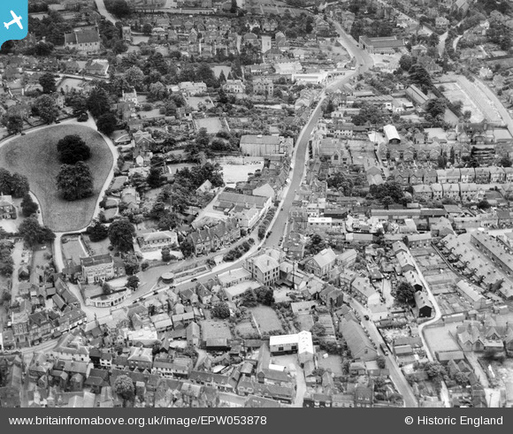
EPW053878 ENGLAND (1937). South Street, Rose Hill and the town, Dorking, 1937
© Copyright OpenStreetMap contributors and licensed by the OpenStreetMap Foundation. 2026. Cartography is licensed as CC BY-SA.
Nearby Images (9)
EPW053878

EAW042713

EPW057017

EAW042716

EPW025275

EAW037055

EPW025274

EPW057020

EAW042715

Details
| Title | [EPW053878] South Street, Rose Hill and the town, Dorking, 1937 |
| Reference | EPW053878 |
| Date | 25-June-1937 |
| Link | |
| Place name | DORKING |
| Parish | |
| District | |
| Country | ENGLAND |
| Easting / Northing | 516401, 149191 |
| Longitude / Latitude | -0.33269929522713, 51.229506915059 |
| National Grid Reference | TQ164492 |
Pins

Good Old Uncle Ted |
Thursday 19th of March 2015 05:53:58 PM | |
|
GrahamC |
Tuesday 12th of August 2014 09:59:28 PM | |
|
GrahamC |
Tuesday 12th of August 2014 09:58:52 PM |