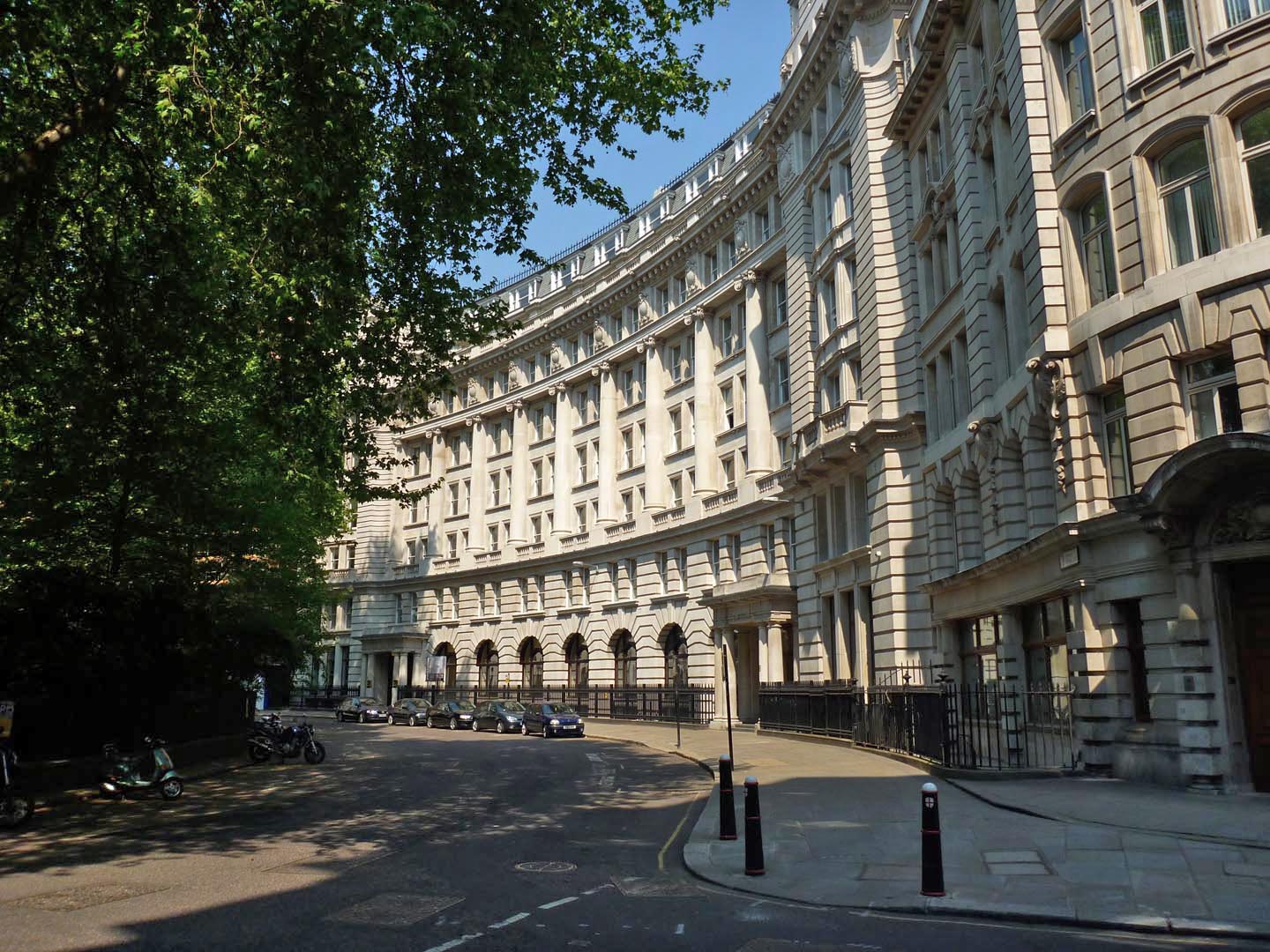
EPW053666 ENGLAND (1937). Finsbury Circus and Finsbury Square, Finsbury, 1937
    © Copyright OpenStreetMap contributors and licensed by the OpenStreetMap Foundation. 2025. Cartography is licensed as CC BY-SA.
  
Nearby Images (10)
Details
| Title | [EPW053666] Finsbury Circus and Finsbury Square, Finsbury, 1937 | 
| Reference | EPW053666 | 
| Date | 12-July-1937 | 
| Link | |
| Place name | FINSBURY | 
| Parish | |
| District | |
| Country | ENGLAND | 
| Easting / Northing | 532881, 181863 | 
| Longitude / Latitude | -0.08455589531745, 51.519553539673 | 
| National Grid Reference | TQ329819 | 
Pins
|  Triton Court, 14-18 Finsbury Square |   Border Terrier | Wednesday 22nd of July 2020 08:44:12 PM | 
| Class31 | Tuesday 20th of October 2015 04:52:16 PM | |
|   Alan McFaden | Friday 19th of December 2014 09:58:19 AM | |
|   Alan McFaden | Friday 19th of September 2014 03:39:31 PM | |
|   Alan McFaden | Friday 19th of September 2014 03:38:46 PM | |
|   Alan McFaden | Friday 19th of September 2014 03:38:06 PM | |
|  Bowling Green |   GrahamT | Saturday 16th of November 2013 12:27:33 AM | 
User Comment Contributions
|   Finsbury Circus 2011 |   Alan McFaden | Friday 19th of December 2014 09:58:42 AM | 
 
             
  ![[EPW053666] Finsbury Circus and Finsbury Square, Finsbury, 1937](http://britainfromabove.org.uk/sites/all/libraries/aerofilms-images/public/100x100/EPW/053/EPW053666.jpg) 
  
                                          ![[EPW053665] Finsbury Circus and Finsbury Square, Finsbury, 1937](http://britainfromabove.org.uk/sites/all/libraries/aerofilms-images/public/100x100/EPW/053/EPW053665.jpg) 
 ![[EAW011199] Wilson Street, Finsbury Square and environs, St Luke's, 1947](http://britainfromabove.org.uk/sites/all/libraries/aerofilms-images/public/100x100/EAW/011/EAW011199.jpg) 
 ![[EAW011124] Cleared sites around Ropemaker Street following bomb damage, St Luke's, 1947. This image has been produced from a print.](http://britainfromabove.org.uk/sites/all/libraries/aerofilms-images/public/100x100/EAW/011/EAW011124.jpg) 
 ![[EAW026319] Finsbury Circus and Liverpool Street Station, London, 1949](http://britainfromabove.org.uk/sites/all/libraries/aerofilms-images/public/100x100/EAW/026/EAW026319.jpg) 
 ![[EAW011123] The New Artillery Ground and surrounding cleared sites following bomb damage, St Luke's, 1947. This image has been produced from a print.](http://britainfromabove.org.uk/sites/all/libraries/aerofilms-images/public/100x100/EAW/011/EAW011123.jpg) 
 ![[EAW011200] The New Artillery Ground and surrounding cleared sites following bomb damage, St Luke's, 1947](http://britainfromabove.org.uk/sites/all/libraries/aerofilms-images/public/100x100/EAW/011/EAW011200.jpg) 
 ![[EAW011198] Broad Street Station and cleared sites around Finsbury Market following bomb damage, Shoreditch, 1947](http://britainfromabove.org.uk/sites/all/libraries/aerofilms-images/public/100x100/EAW/011/EAW011198.jpg) 
 ![[EAW011137] Cleared sites following bomb damage around Finsbury Market and environs, Shoreditch, 1947. This image has been produced from a print.](http://britainfromabove.org.uk/sites/all/libraries/aerofilms-images/public/100x100/EAW/011/EAW011137.jpg) 
 ![[EAW011125] Finsbury Circus and cleared sites around Moorgate Street Station following bomb damage, London, 1947. This image has been produced from a print.](http://britainfromabove.org.uk/sites/all/libraries/aerofilms-images/public/100x100/EAW/011/EAW011125.jpg) 


