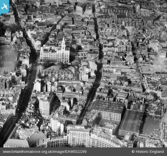
EAW011199 ENGLAND (1947). Wilson Street, Finsbury Square and environs, St Luke's, 1947
© Copyright OpenStreetMap contributors and licensed by the OpenStreetMap Foundation. 2026. Cartography is licensed as CC BY-SA.
Nearby Images (11)
EAW011199

EPW053666

EPW053665

EAW011124

EAW026319

EAW011123

EAW011137

EAW011198

EAW011217

EAW011200

EAW011218

Details
| Title | [EAW011199] Wilson Street, Finsbury Square and environs, St Luke's, 1947 |
| Reference | EAW011199 |
| Date | 30-September-1947 |
| Link | |
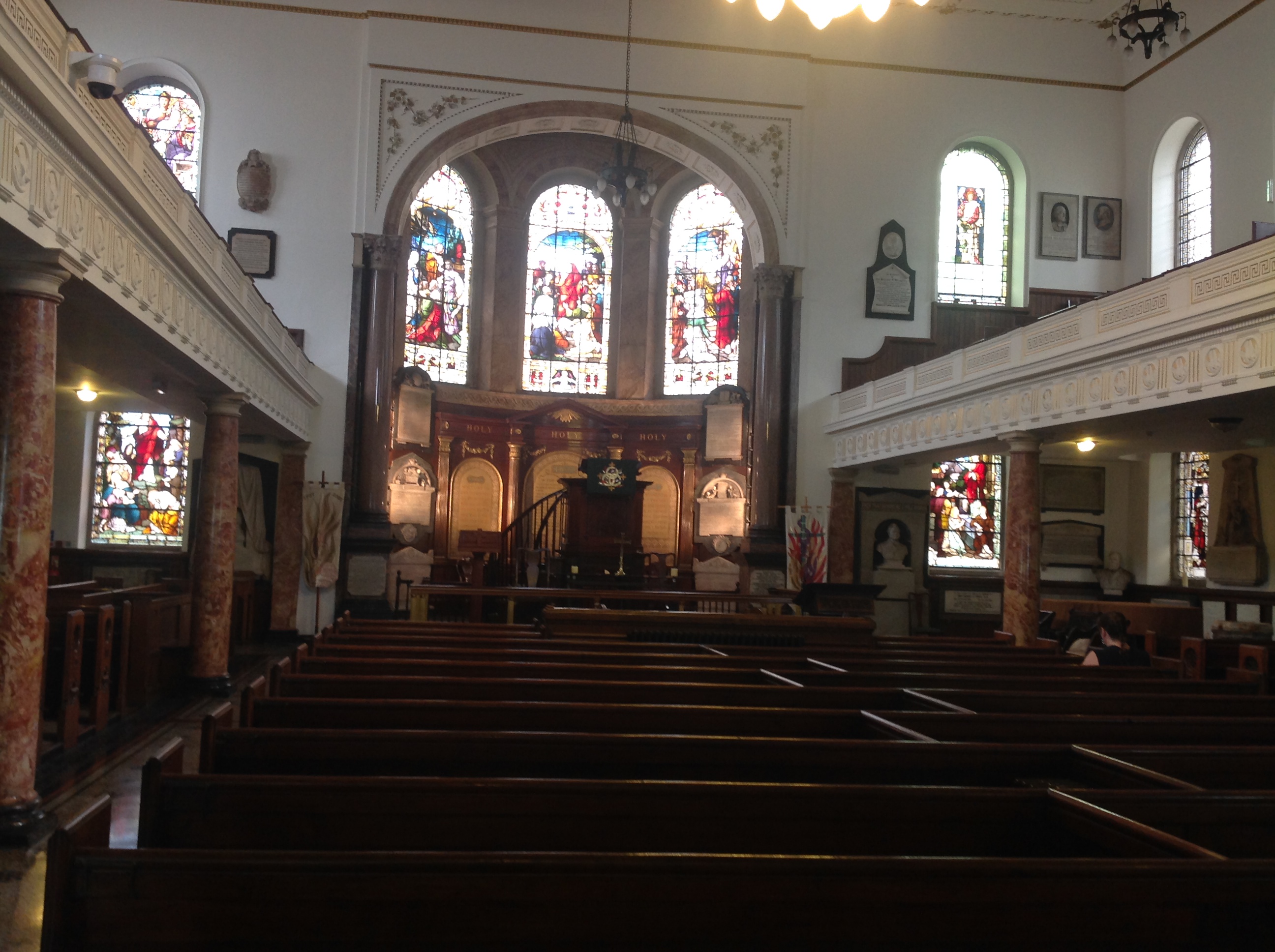
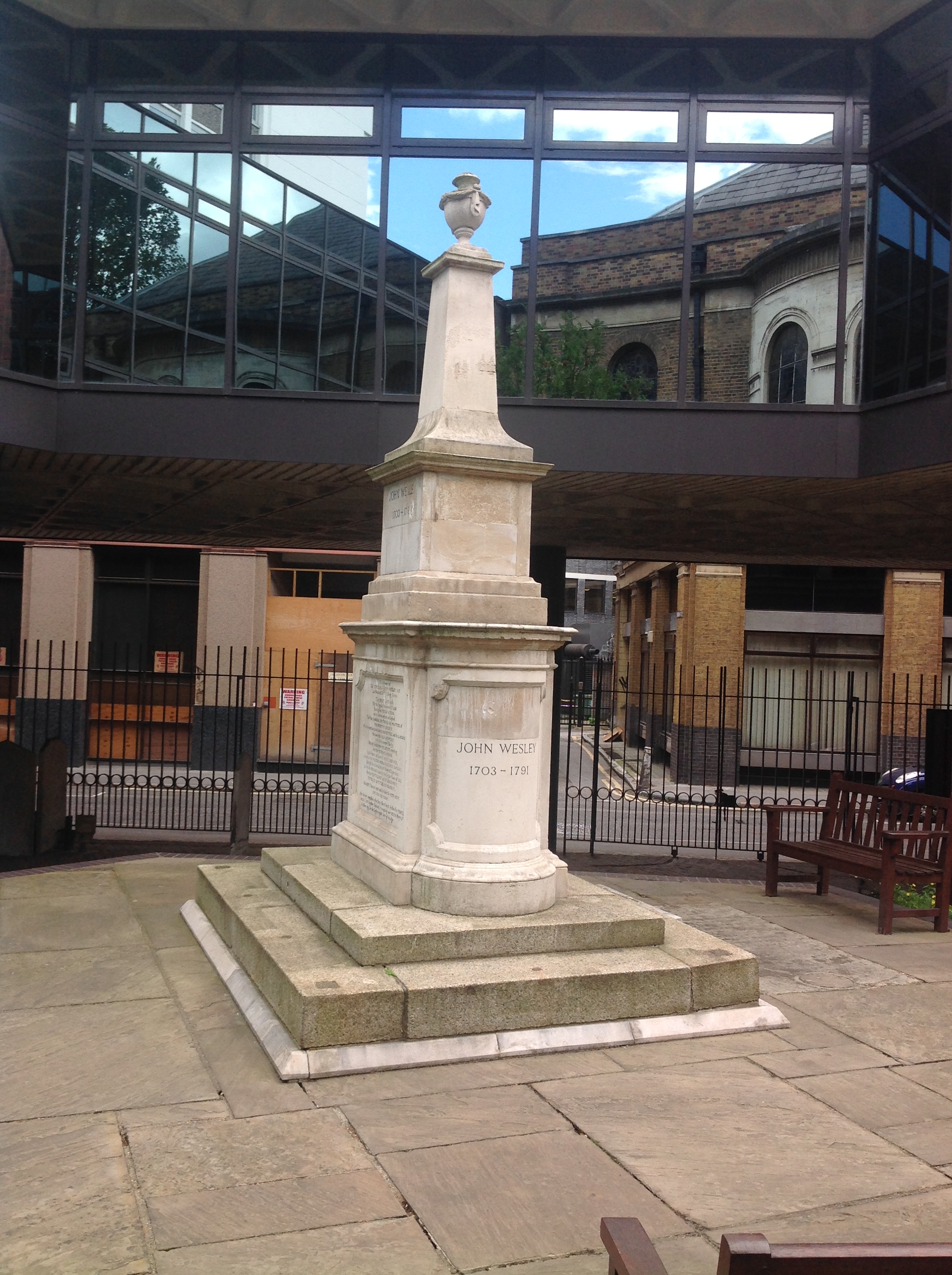
| Place name | ST LUKE'S |
| Parish | |
| District | |
| Country | ENGLAND |
| Easting / Northing | 532915, 181927 |
| Longitude / Latitude | -0.084041944834431, 51.520120735146 |
| National Grid Reference | TQ329819 |
Pins

Class31 |
Tuesday 20th of October 2015 04:54:48 PM | |
|
Class31 |
Wednesday 23rd of July 2014 12:18:48 PM | |
|
Class31 |
Wednesday 23rd of July 2014 12:18:24 PM | |
|
Class31 |
Wednesday 23rd of July 2014 12:17:12 PM | |
|
Class31 |
Wednesday 23rd of July 2014 12:15:32 PM | |
|
Class31 |
Wednesday 23rd of July 2014 12:12:40 PM | |
|
Class31 |
Monday 12th of May 2014 05:25:10 PM | |
|
Class31 |
Monday 12th of May 2014 05:24:52 PM | |
|
Class31 |
Monday 12th of May 2014 05:24:17 PM |