
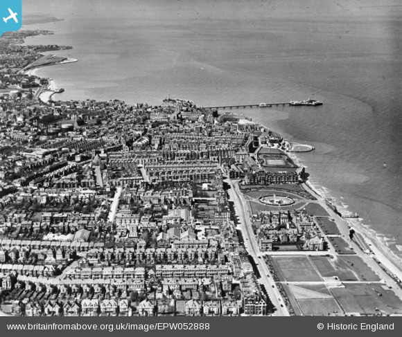
EPW052888 ENGLAND (1937). The town, Margate, from the east, 1937. This image has been produced from a copy-negative.
© Copyright OpenStreetMap contributors and licensed by the OpenStreetMap Foundation. 2026. Cartography is licensed as CC BY-SA.
Nearby Images (6)
EPW052888

EPW052889

EPW000618

EPW018603

EPW000326

EPW035471

Details
| Title | [EPW052888] The town, Margate, from the east, 1937. This image has been produced from a copy-negative. |
| Reference | EPW052888 |
| Date | 24-April-1937 |
| Link | |
| Place name | MARGATE |
| Parish | |
| District | |
| Country | ENGLAND |
| Easting / Northing | 636663, 171158 |
| Longitude / Latitude | 1.4020548318258, 51.389528755792 |
| National Grid Reference | TR367712 |
Pins
Be the first to add a comment to this image!