
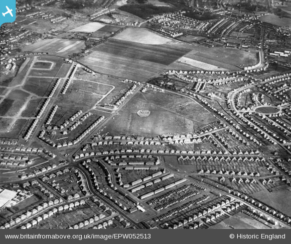
EPW052513 ENGLAND (1937). Residential development around Little Heath Road and environs, Bexleyheath, 1937. This image has been produced from a print.
© Copyright OpenStreetMap contributors and licensed by the OpenStreetMap Foundation. 2026. Cartography is licensed as CC BY-SA.
Nearby Images (4)
EPW052513

EPW052511

EPW052502

EPW052514

Details
| Title | [EPW052513] Residential development around Little Heath Road and environs, Bexleyheath, 1937. This image has been produced from a print. |
| Reference | EPW052513 |
| Date | 27-February-1937 |
| Link | |
| Place name | BEXLEYHEATH |
| Parish | |
| District | |
| Country | ENGLAND |
| Easting / Northing | 548816, 176957 |
| Longitude / Latitude | 0.14290995941188, 51.471493323603 |
| National Grid Reference | TQ488770 |
Pins

nigel |
Wednesday 29th of May 2024 09:14:20 AM | |
|
nigel |
Wednesday 29th of May 2024 09:12:38 AM | |
|
conker |
Monday 6th of April 2020 10:06:56 AM | |
|
Simon |
Thursday 18th of August 2016 03:17:43 PM | |

Barney |
Tuesday 7th of April 2015 07:17:19 AM | |
|
Dave L |
Sunday 8th of February 2015 05:37:04 PM | |
|
Dave L |
Sunday 8th of February 2015 05:36:25 PM | |
|
Dave L |
Sunday 8th of February 2015 05:36:02 PM |