
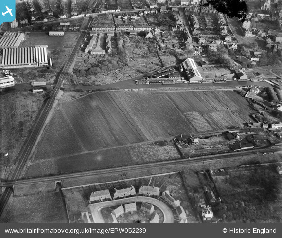
EPW052239 ENGLAND (1936). The site of the Brentford Business Centre on Commerce Road, Brentford, 1936. This image was produced from a damaged negative.
© Copyright OpenStreetMap contributors and licensed by the OpenStreetMap Foundation. 2026. Cartography is licensed as CC BY-SA.
Nearby Images (14)
EPW052239

EPW052236

EPW052235

EPW052238

EPW035096

EPW052233

EPW052237

EPW052234

EPW052240

EPW031244

EPW031243

EPW031240

EPW031241

EPW031242

Details
| Title | [EPW052239] The site of the Brentford Business Centre on Commerce Road, Brentford, 1936. This image was produced from a damaged negative. |
| Reference | EPW052239 |
| Date | November-1936 |
| Link | |
| Place name | BRENTFORD |
| Parish | |
| District | |
| Country | ENGLAND |
| Easting / Northing | 517135, 177536 |
| Longitude / Latitude | -0.31285439033771, 51.4841455595 |
| National Grid Reference | TQ171775 |
Pins

Martin Devlin |
Wednesday 26th of January 2022 11:52:19 AM | |
|
colin t |
Saturday 21st of November 2020 08:07:37 PM | |
|
colin t |
Saturday 21st of November 2020 08:07:15 PM | |
|
Leslie B |
Friday 11th of March 2016 12:44:11 PM | |
|
Leslie B |
Friday 11th of March 2016 12:43:13 PM |