
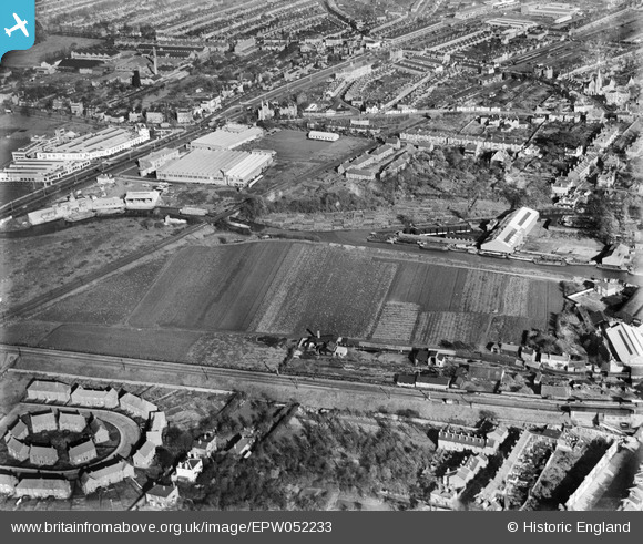
EPW052233 ENGLAND (1936). The site of the Brentford Business Centre on Commerce Road, Brentford, 1936
© Copyright OpenStreetMap contributors and licensed by the OpenStreetMap Foundation. 2026. Cartography is licensed as CC BY-SA.
Nearby Images (15)
EPW052233

EPW052239

EPW052236

EPW052238

EPW052235

EPW035096

EPW052234

EPW031241

EPW031244

EPW052237

EPW031240

EPW052240

EPW031243

EPW031242

EPW035233

Details
| Title | [EPW052233] The site of the Brentford Business Centre on Commerce Road, Brentford, 1936 |
| Reference | EPW052233 |
| Date | November-1936 |
| Link | |
| Place name | BRENTFORD |
| Parish | |
| District | |
| Country | ENGLAND |
| Easting / Northing | 517180, 177574 |
| Longitude / Latitude | -0.3121939253028, 51.484477803463 |
| National Grid Reference | TQ172776 |
Pins

Leslie B |
Monday 4th of April 2016 11:40:26 PM | |
 |
Leslie B |
Monday 4th of April 2016 11:34:35 PM |
|
Leslie B |
Monday 4th of April 2016 11:29:24 PM |