
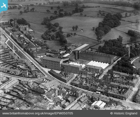
EPW050705 ENGLAND (1936). The Albert Silk Mills, Macclesfield, 1936
© Copyright OpenStreetMap contributors and licensed by the OpenStreetMap Foundation. 2026. Cartography is licensed as CC BY-SA.
Nearby Images (14)
EPW050705

EAW016061

EPW050703

EAW016060

EPW050701

EPW050700

EAW016056

EPW016744

EAW016057

EAW016058

EAW016055

EPW050704

EPW050702

EAW016059

Details
| Title | [EPW050705] The Albert Silk Mills, Macclesfield, 1936 |
| Reference | EPW050705 |
| Date | June-1936 |
| Link | |
| Place name | MACCLESFIELD |
| Parish | |
| District | |
| Country | ENGLAND |
| Easting / Northing | 392286, 374057 |
| Longitude / Latitude | -2.115660600024, 53.263177573662 |
| National Grid Reference | SJ923741 |
Pins

thebanshee |
Sunday 29th of May 2016 05:12:16 PM | |
|
jonnyhud |
Sunday 31st of January 2016 09:30:24 PM | |
|
jonnyhud |
Sunday 31st of January 2016 08:46:52 PM | |
|
jonnyhud |
Sunday 31st of January 2016 08:45:36 PM | |
|
jonnyhud |
Sunday 31st of January 2016 08:44:26 PM | |
|
jonnyhud |
Sunday 31st of January 2016 08:42:18 PM | |
|
jonnyhud |
Sunday 31st of January 2016 08:41:15 PM | |
|
jonnyhud |
Sunday 31st of January 2016 08:38:31 PM |