
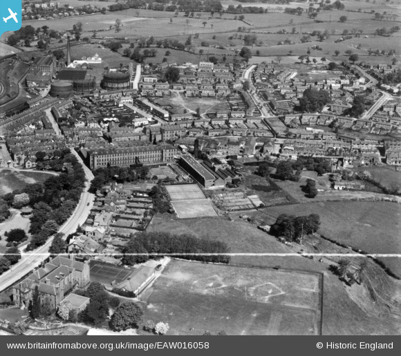
EAW016058 ENGLAND (1948). The Brocklehurst-Whiston Amalgamated Ltd Silk Mill and surrounding residential area, Hurdsfield, 1948. This image has been produced from a print marked by Aerofilms Ltd for photo editing.
© Copyright OpenStreetMap contributors and licensed by the OpenStreetMap Foundation. 2026. Cartography is licensed as CC BY-SA.
Nearby Images (15)
EAW016058

EPW050704

EAW016056

EAW016055

EPW050700

EPW050701

EPW050703

EAW016061

EPW050705

EPW050702

EAW016060

EAW016057

EPW016744

EAW016059

EPW016740

Details
| Title | [EAW016058] The Brocklehurst-Whiston Amalgamated Ltd Silk Mill and surrounding residential area, Hurdsfield, 1948. This image has been produced from a print marked by Aerofilms Ltd for photo editing. |
| Reference | EAW016058 |
| Date | 21-May-1948 |
| Link | |
| Place name | HURDSFIELD |
| Parish | |
| District | |
| Country | ENGLAND |
| Easting / Northing | 392352, 374012 |
| Longitude / Latitude | -2.1146699427118, 53.262773988338 |
| National Grid Reference | SJ924740 |
Pins

thebanshee |
Thursday 26th of May 2016 05:22:41 PM |