
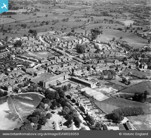
EAW016059 ENGLAND (1948). The Brocklehurst-Whiston Amalgamated Ltd Silk Mill and the surrounding residential area, Hurdsfield, 1948
© Copyright OpenStreetMap contributors and licensed by the OpenStreetMap Foundation. 2026. Cartography is licensed as CC BY-SA.
Nearby Images (14)
EAW016059

EAW016057

EAW016061

EPW050703

EPW050705

EPW050701

EPW050700

EAW016060

EAW016056

EAW016058

EPW016744

EPW050704

EAW016055

EPW050702

Details
| Title | [EAW016059] The Brocklehurst-Whiston Amalgamated Ltd Silk Mill and the surrounding residential area, Hurdsfield, 1948 |
| Reference | EAW016059 |
| Date | 21-May-1948 |
| Link | |
| Place name | HURDSFIELD |
| Parish | |
| District | |
| Country | ENGLAND |
| Easting / Northing | 392332, 374155 |
| Longitude / Latitude | -2.1149732590719, 53.264059241088 |
| National Grid Reference | SJ923742 |
Pins
Be the first to add a comment to this image!