
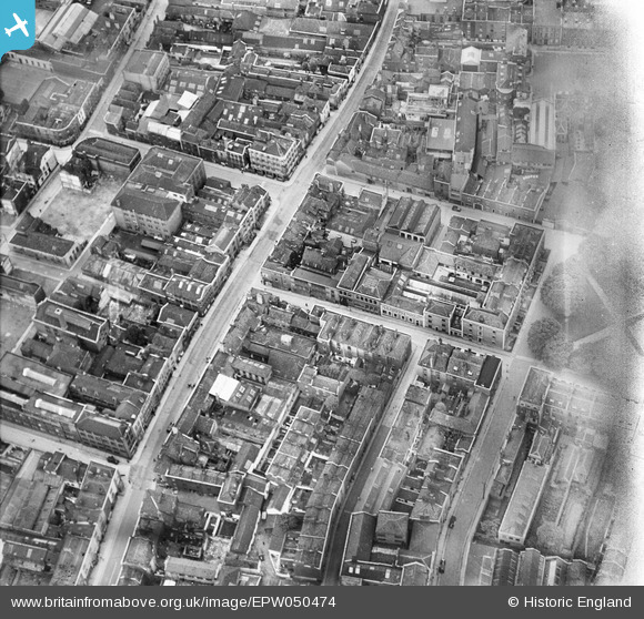
EPW050474 ENGLAND (1936). Milk Street and environs, Bristol, 1936
© Copyright OpenStreetMap contributors and licensed by the OpenStreetMap Foundation. 2026. Cartography is licensed as CC BY-SA.
Nearby Images (7)
EPW050474

EPW050471

EPW050475

EPW050472

EPW050473

EPW012229

EPW012228

Details
| Title | [EPW050474] Milk Street and environs, Bristol, 1936 |
| Reference | EPW050474 |
| Date | June-1936 |
| Link | |
| Place name | BRISTOL |
| Parish | |
| District | |
| Country | ENGLAND |
| Easting / Northing | 359301, 173530 |
| Longitude / Latitude | -2.5858636716379, 51.458793794368 |
| National Grid Reference | ST593735 |
Pins

Braikenridge |
Sunday 31st of January 2016 10:35:14 AM | |
|
MildBunch |
Tuesday 17th of February 2015 01:35:53 PM | |

Class31 |
Monday 10th of March 2014 04:31:16 PM | |
|
Class31 |
Monday 10th of March 2014 04:29:54 PM | |
|
Class31 |
Monday 10th of March 2014 04:29:27 PM | |
|
Class31 |
Monday 10th of March 2014 04:28:34 PM | |
|
Class31 |
Monday 10th of March 2014 04:27:57 PM |

User Comment Contributions
View looking west. |
Class31 |
Monday 10th of March 2014 04:31:49 PM |